
Don't expect too many chairlifts running this weekend
Wild winds are heading their way to southeast Australia as a cold front approaches and crosses the region – as we told you on Wednesday and again this Friday.
For the mainland ski resorts, this is both good and bad news. It's good news because the winds will be accompanied by heavy snowfalls. Indeed the period from Friday afternoon to Saturday afternoon looks like bringing the heaviest snowfalls of winter 2023 to date.
The bad news is that winds will make it pretty unpleasant on the slopes, and that's if you can even get out there as many lifts will likely be placed on wind-hold.
![]()
Image: It's pretty nasty up there when it's blowing a gale.
There's no definitive wind velocity threshold for chairlifts (and sometimes even surface lifts like T-bars) to close. It depends on their aspect, their elevation, and other factors such as the decision-making process around safety at the various resorts.
But it's a pretty safe bet that you're going to have closures once winds get up towards 70 or 80 km/h at the exposed top stations of the higher lifts, and sustained winds speeds look likely to reach that range this weekend, especially on Saturday, while gusts could well exceed 100 km/h.
We can't tell you much more about which lifts will or won't be open, so your best bet is to check conditions on resort websites and apps. Click on the links for Thredbo, Perisher, Charlotte Pass, Selwyn (NSW) and Mt Buller, Hotham, Falls Creek and Mt Baw Baw (Vic) for the latest.
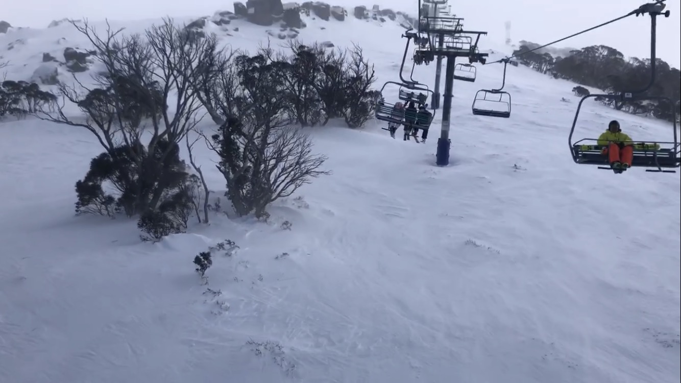
Image: When chairs start swaying like this, it's often a sign that lift will soon be closed for safety reasons.
As for the snow that's set to fall, the models have been jumping around in terms of totals, but it now appears likely that around 15-30 cm will fall on Saturday with moderate falls continuing into Sunday.
Take a look at the satellite loop below taken just after 4 pm Friday. Saturday's big snow system is just approaching the SA coastline, but it's moving fast with those super strong winds and the big blizzard should begin in earnest over the mountains on Saturday morning.

Good luck with the weather if you're heading to the hills this weekend, and please remember to check our snow page for all the latest forecasts and much more.