
Cold snap sends shivers across southern Australia

A mass of cold polar air caused rain, hail and snow across multiple states and territories during the weekend, with more wintry weather on the way in the coming days.
A strong cold front swept over southern Australia between Friday night and Monday morning, producing a wintry mix of weather from WA to NSW.
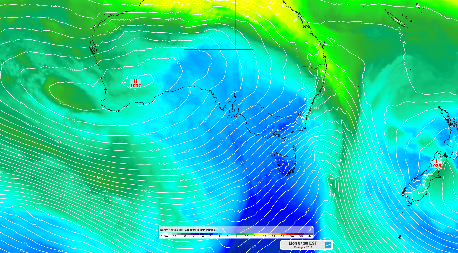
Image: Cold air being driven over southern and southeastern Australia on Monday in the wake of a frontal system.
The front hit WA on Friday, delivering close to 50mm of rain at Bickley and 27mm in Perth. Damaging wind gusts in excess of 100km/h were clocked along the state's Lower West and South West coasts late on Friday, topping out at 107km/h at Ocean Reef near Perth.
Temperatures even dropped low enough to cause snow on Western Australia's Stirling Range on Saturday morning. There was at least enough snow on Bluff Knoll to make a few snowmen, drawing crowds from far and wide to witness the spectacle.
Image: Snow at Bluff Knoll on Saturday.
The wintry weather then spread across South Australia on the weekend, peppering the Mount Lofty Ranges with snow and hail on Sunday as Adelaide struggled to a top of just 12 degrees.
Image: Snow at Mount Lofty on Sunday.
The frigid air mass then passed over southeastern Australia on Sunday night and Monday morning, causing blustery winds, heavy rain and snow.
In the 24 hours to 9am on Monday, around 30-50mm of rain fell in western Tasmania and 20-40mm hit parts of Victoria's West and South Gippsland District.
The heavy showers combined with cold air to deliver around 20cm of fresh snow to some alpine areas on the mainland and in Tasmania.
Video: Snow at Cradle Mountain Resort on Monday.
Snow was expected to reach down to around 400 metres elevation in Tasmania and Victoria and 600-700 metres in southern and central NSW during Monday morning, before lifting a bit into the afternoon. However, any snow in central NSW on Monday will be light due to a lack of moisture.
Looking ahead, cold and blustery southwesterly winds will persist across southeastern Australia until Wednesday, maintaining a mix of rain and snow in areas exposed to this wind direction. Flood watches and warnings have been issued in parts of Victoria and Tasmania.
A high pressure system will bring more settled conditions to southeastern Australia from Thursday and Friday, although the respite may be short-lived. Another cold front will reach WA on Thursday, before causing another burst of wintry weather over southeastern Australia this coming weekend.
Visit https://www.weatherzone.com.au/warnings.jsp for the latest warnings.