
Birds and insects captured by weather radar
Fall migration is well under way in the United States, and billions of birds are making the sometimes hazardous journey to warmer latitudes and winter habitats.
Contrary to some received wisdom, many birds make their journeys overnight, taking navigational cues from the stars, geomagnetic fields and geographical features, such as the Mississippi Valley.
Birds often travel in large flocks, mostly at altitudes between about 1,200 and 6,000 feet, and although they are hard to spot by eye from the ground, they don’t escape the gaze of doppler weather radars.
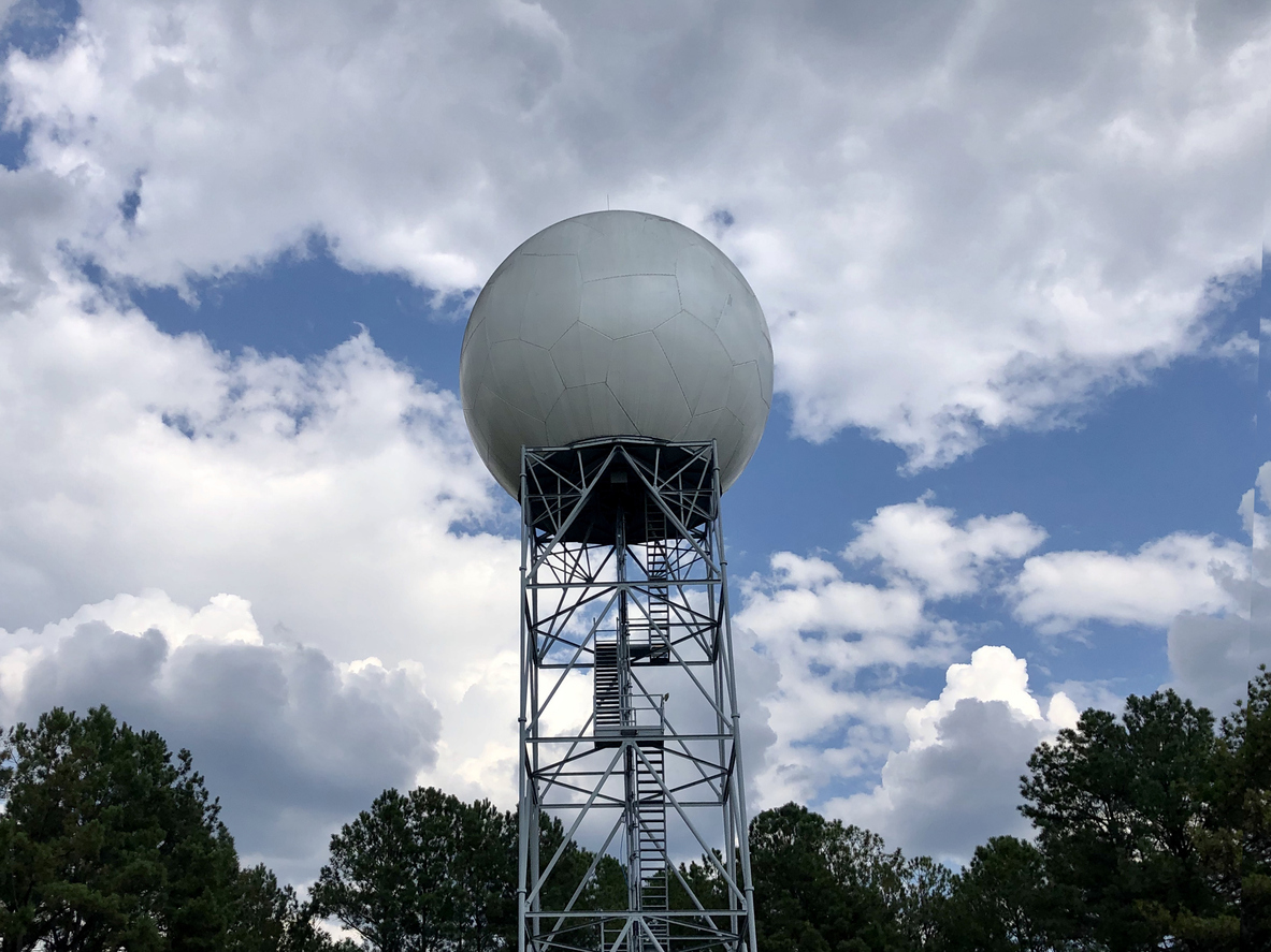
Image: A doppler radar in Georgia. Source: iStock / PamSchodt
Rain vs. birds
Weather radars are of course designed to monitor hydrometeors like rain, snow and hail. Given that they can visualize those tiny particles, it’s no surprise that they are also adept at picking up the echoes of large flocks of birds. At first glance, the radar image might look like it’s showing light rainfall where there is none, but a closer examination can reveal the difference.
Precipitation is usually more irregular, whereas bird flocks show up in a circle around the radar site – a circular echo because radars sweep through 30 degrees. If you look at the radar image key, it’s also clear that birds, being less densely packed than precipitation, show lower reflectance values.
Radar tools can help identify bioscatter
Radar was first developed during World War 2 to detect enemy aircraft, but operators sometimes spotted rogue dots on their screens that were neither aircraft nor precipitation. A couple of skilled observers and ornithologists, Edward Gray and David Lack, worked out that birds were to blame.
Some modern radar tools can derive the type of reflection and inform what type of precipitation is most likely present, or whether it is biological in nature: “bioscatter”. A feature called dual polarization (or “dual-pol”) emits pulses of microwaves at two angles rather than one, which can better sift airborne phenomena, better distinguishing rain from snow from hail – but also picking out biological targets.
The blow animation from RadarScope shows both standard radar reflectivity (bottom) and derived hydrometeor classifications (top), where the gray and yellow shades are indicating biological radar returns.
Video: Bird migration visualised using RadarScope’s hydrometeor classification layer. Source: RadarScope
Roost rings
Even when non-migratory, birds can be seen on radar, especially at dawn when they fly out en masse from their overnight roosts. These show up as sudden expanding circles called “roost rings”. Likewise, but at the other end of the day, similar rings reveal where bats are hurtling out of their caves and trees for their evening feed.
Image: Roost rings captured by radar over Ohio in 2010. Source: NOAA / NWS
Insects
If radar can detect birds and things as small as raindrops, then it can also pick up the microwave reflections from insects. One startling example is the sudden, rapid and ephemeral emergence of mayflies along rivers during the summer. When they hatch and fly upwards, an expanding mass of color appears. Such is the intensity, this could easily be mistaken for rain, except that the radar reflection follows the shape of the river.
Image: Mayfly emergence along the Upper Mississippi River, caught on weather radar in June 2012. Image: NOAA/NWS