
Biggest snowfall of 2021 snow season due later this week
Here it comes: the snow dump that should really get the season rocking and rolling at all mainland Aussie ski resorts.
From this coming Friday into the weekend, Weatherzone meteorologists are expecting a total of 30 to 60 centimetes of fresh snow to fall across the skifields of New South Wales and Victoria, as a classic southwesterly cold front crosses the Australian Alps.
ONE STOP SNOW SHOP (EXCEPT FOR SKI HIRE!) - THE WEATHERZONE SNOW FORECAST PAGE
Ahead of the main front and the cold air it ushers in, a series of troughs embedded in a northwestlery airstream should deliver a few centimetres here and there midweek at higher elevations.
There's the chance of 10-20 cm on Wednesday above 1300 metres, before the snow level rises significantly on Thursday to around 1600m with a surge of warmer air ahead of the main front due later on Friday or early Saturday.
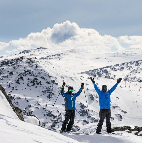
Image: Hooray! It's going to snow! Source: perisher_resort on Instagram.
In the wake of the front, the snow level could drop to as low as 800 metres, with the potential for a few snow flurries in areas beyond the mountains.
So overall, in a best case scenario, the week ahead could bring as much as 80 centimetres of snow or more to higher parts of the Australian Alps.
So how's the 2021 snow season going anyway?
For all our friends who can’t be here with us, we miss you. 😟 Join us for the ultimate virtual escape to the mountains. â˜ƒï¸ â„ï¸ What other videos like this would you like to see? 🤠👉 https://t.co/BDQ8LV69ix pic.twitter.com/7HAkyL9juC
— Perisher (@PerisherResort) July 7, 2021
In case you've missed it, Weatherzone has been publishing a quick guide to weekly mainland Australian snow conditions towards the end of each week in the 2021 season to date. Here's last week's.
The first thing we'd mention is to sympathise with those stuck in Sydney and surrounds who are currently unable to vist the snow due to the Covid situation. We feel ya. But for those with the option of going, or who just take an interest in the Aussie snow season, the overall situation is this:
- New South Wales has had more snow than Victoria all season because it copped an unusual easterly dump in the second week of June.
- That easterly weather system delivered only a few centimetres to the northern VIC resorts (Falls Creek and Mt Hotham) and rain to the southern Victorian resorts (Mt Buller and Mt Baw Baw).
- Victoria has been playing catch-up ever since, and has struggled to open up as much terrain as NSW, where around 80% of lifts are open at the three resorts, Perisher, Thredbo and Charlotte Pass.
- The snow depth in Victoria is generally between only about 5 cm and 30 cm on the higher slopes of the resorts. In NSW it's closer to 50-60 cm at similar levels.
- Snowy Hydro last updated its independent NSW snow depth readings on June 29. The reading then was 54.8 cm at Spencers Creek, roughly halfway between Perisher and Thredbo. There has been one decent snowfall since then, so the depth is likely a little higher now, but due to melt and snowpack compaction, it's probably not much more.
The snowfalls later this week should deliver for all resorts, especially the front on Friday and Saturday.
At this stage, they definitely promise to be a game-changer for the season, and we'll keep you posted as the system draws nearer.