
Bathurst 1000 is go
Dry and mostly clear sums up the forecast for Bathurst 1000 weekend this year, a far cry from the 40mm of rain and a cold front that arrived right at Saturday race time last year.
If any anti-race weather controllers were aiming to similarly dampen spirits this year, they got the timing slightly off. Another forty odd (42.2mm, to be precise) of rain fell late Wednesday into Thursday as a monster slow-moving rain and thunderstorm band crossed the Central Tablelands with a stalled cold front. It cleared out in time for Friday and the weekend though.
A high pressure cell over the Bight is sending a stabilising ridge north over NSW. Afternoons are being dominated by light-to-moderate westerly winds, while the evenings are seeing cloudier easterlies push in from the coast and ranges, persisting until morning. In short, classic spring weather.
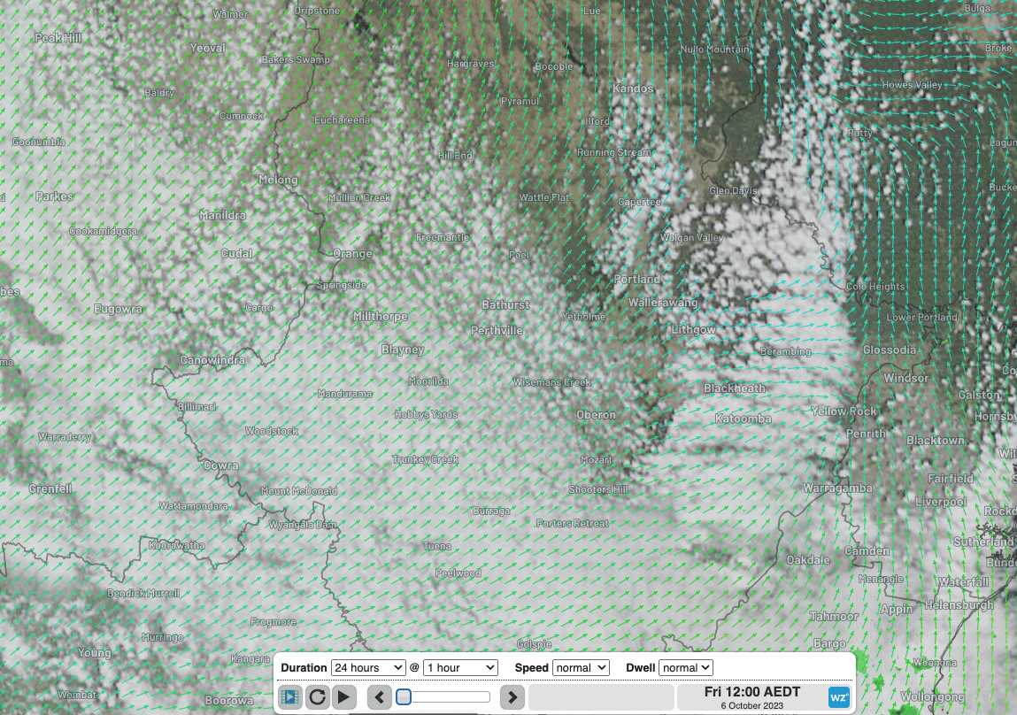
Image: Satellite imagery and surface winds for the last 24 hours over the Bathurst region showing extensive post-frontal cloud banked up against the Great Dividing Range clearing during Friday afternoon.