
Aussie ski village records its first 30-degree day
Temperatures have exceeded 49°C in the ongoing heatwave in southeastern Australia for the third straight day, yet it was a reading of just 30.5°C in the snowfields that arguably provided Wednesday’s most remarkable heat anomaly.
Let’s deal with the hottest temperatures first:
- On Monday, the SA coastal town of Ceduna hit 49.5°C.
- On Tuesday, Renmark in SA’s Riverland reached 49.6°C, while the NSW town of Pooncarie hit 49.7°C – the state’s hottest day since 1939.
- This Wednesday, 49.2°C was recorded at the official BoM weather station at Borrona Downs, a cattle station in far northwestern NSW.
It obviously wasn’t anywhere near that hot in mainland Australia’s high country, but in historical terms, it was a scorcher.
Sizzling in the snowfields
The weather station at Falls Creek ski resort in Victoria had never recorded a 30-degree day in 36 years of records going back to 1990 – until today.
At 2:26pm, the temperature briefly spiked to 30.5°C, breaking the old record of 29.7°C from January 2014.
Record-breaking temperatures were also experienced in the NSW Snowy Mountains, with Perisher Valley registering its hottest day in 50 years of records (at two different sites) when the mercury touched 30.8°C at 4:22pm.
Perisher is said to have received its unusual name when a grazier described an unseasonable blizzard as a "proper perisher" in terms of the survival chances of his cattle. Sunstroke would have been a bigger worry than frostbite this Wednesday.
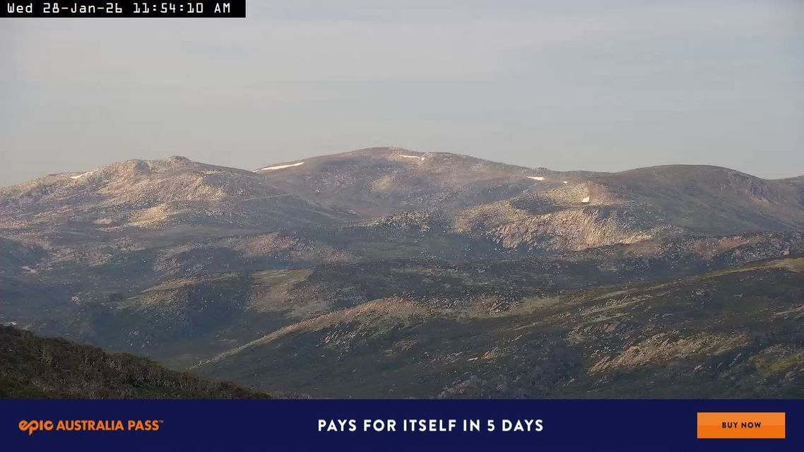
Image: Remnant winter snow patches clinging to life on the flanks of Mt Kosciuszko in the extreme January heat. Source: ski.com.au.
Canberra’s second-hottest day on record
When it’s hot in the mountains, the mercury usually soars in Canberra, and so it proved today as the national capital endured its second-hottest day on record, with a high of 42.6°C to 4pm. Canberra's hottest day on record was 44°C on January 4, 2020, during the Black Summer.
Tuggeranong, in the city’s south, had its hottest day on record with 43.5°C, narrowly beating its 43.3°C from that same scorching January 4 in the Black Summer.
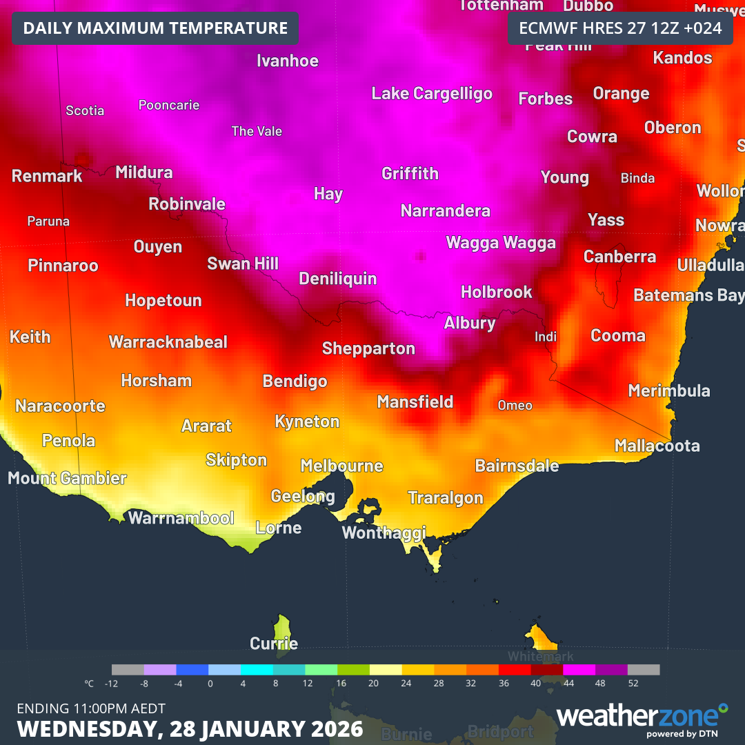
Image: Predicted maximums on Wednesday for Victoria and nearby areas. While the hottest air was concentrated in eastern SA and western NSW, a tongue of intense heat reached NE Victoria and the High Country.
Why mountains are generally cooler than lower areas
- The higher you go, the less the air pressure. This means that air molecules are more spread out, which reduces heat retention.
- In dry, clear conditions during the afternoon, you tend to lose around one degree of temperature for every 100m of altitude gained (this is called the dry adiabatic lapse rate).
- So for example, the Victorian town of Wangaratta (weather station elevation 152m) reached 45.2°C this Wednesday.
- Two hours southeast of Wangaratta, Falls Creek (weather station elevation 1765m) reached 30.5°C, as mentioned.
- So that’s a difference of about 15 degrees between two sites that are separated by about 1600m of altitude – which corresponds pretty closely to the formula.
Meanwhile heat will persist throughout the week in Canberra and the high country, although it’s unlikely that Wednesday’s extremes will be seen again.
By next Monday, frost could be on the grass in the morning at Perisher with a maximum of 0°C forecast after a southerly change on Sunday.