
An avalanche and an unusual Aussie snowfall
There's still a healthy snow depth of almost two metres at the highest reaches of the Australian alpine region as we near the end of the second week of September.
NSW hydro-electricity operator Snowy Hydro took its latest readings at its three NSW sites on Thursday, September 11, with a depth of 196.9cm at Spencers Creek – at an elevation of 1830m roughly halfway between the two major NSW ski resorts of Perisher and Thredbo.
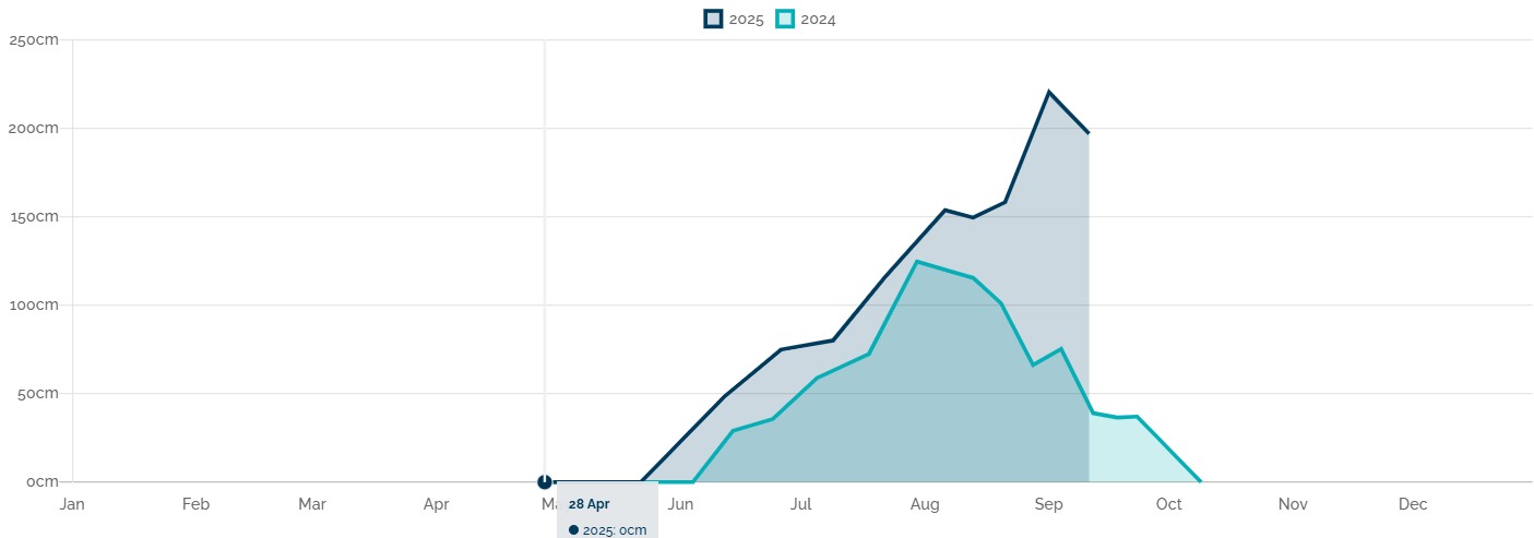
Image: Snow depth in 2025 (dark blue line) compared with 2024 (light blue line) at Spencers Creek, NSW. Source: Snowy Hydro.
The latest reading means that the Spencers Creek snowpack has reduced in depth by about 10% from the previous measurement of 220.4cm on September 1.
That early September reading now appears likely to be the season high, although it’s worth noting that the 2022 peak of 232cm was recorded on September 20, which was very late in the season.
A typical spring week with a couple of twists
In many ways, the past week has been typical for early spring in the high country of NSW and Victoria.
There was a significant burst of rain, there were relatively mild maximum temperatures that reached at least a few degrees above zero most days, and the snowpack became coated in airborne dust from regions far west of the mountains, which often happens in September.
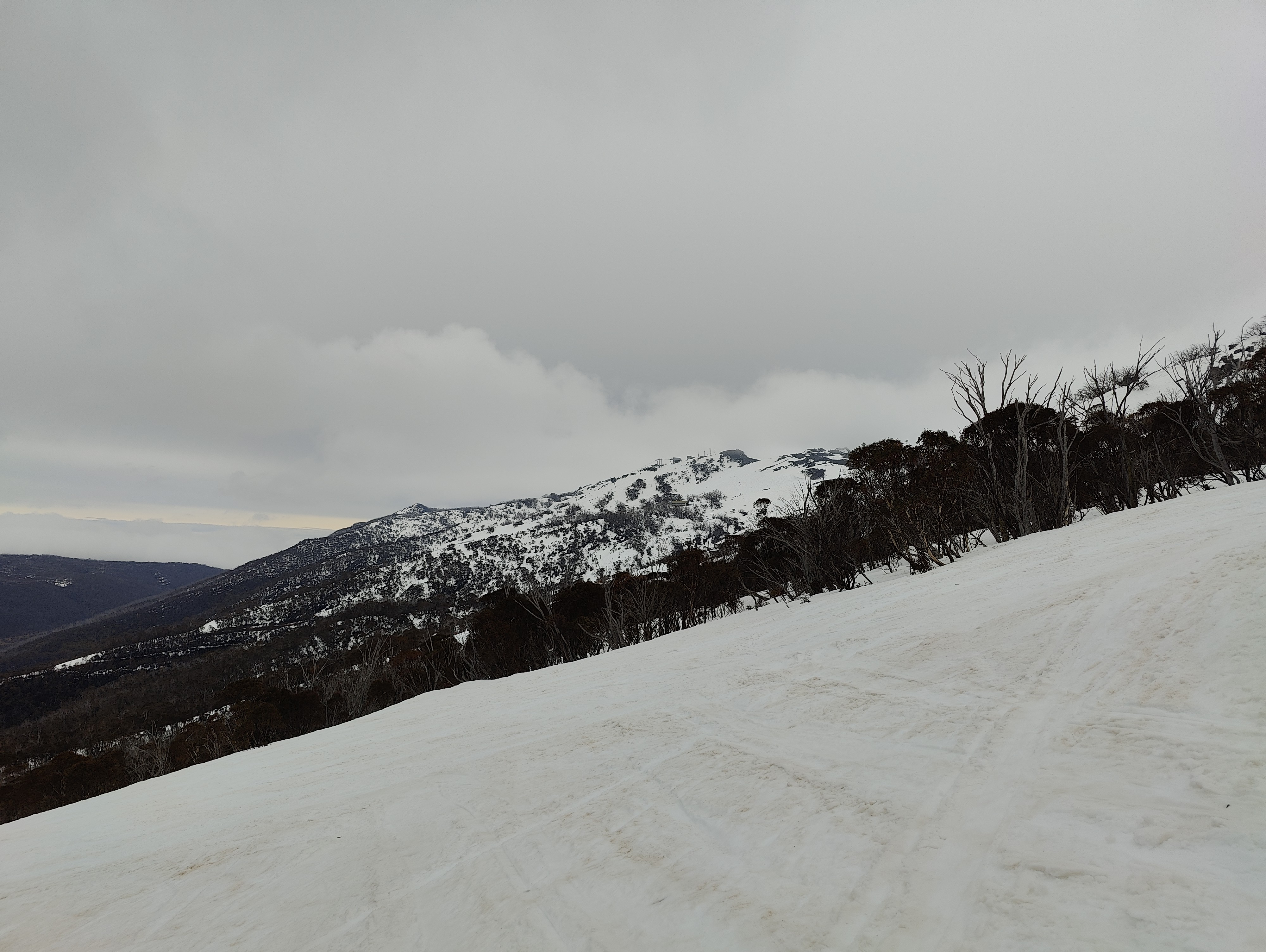
Image: Dust from Australia’s interior on the snow on the slopes of Thredbo, NSW, before fresh snow started falling and covering it later in the day on Wednesday, September 10, 2025. Source: Rusty J via ski.com.au.
But there were a couple of moments that stood out as somewhat unusual.
Firstly, the 15cm or so of snow that accumulated from Wednesday afternoon into Thursday morning in the Snowy Mountains of New South Wales fell in rare, near windless conditions more reminiscent of the snow that often floats down in relatively still conditions in many overseas ski towns.
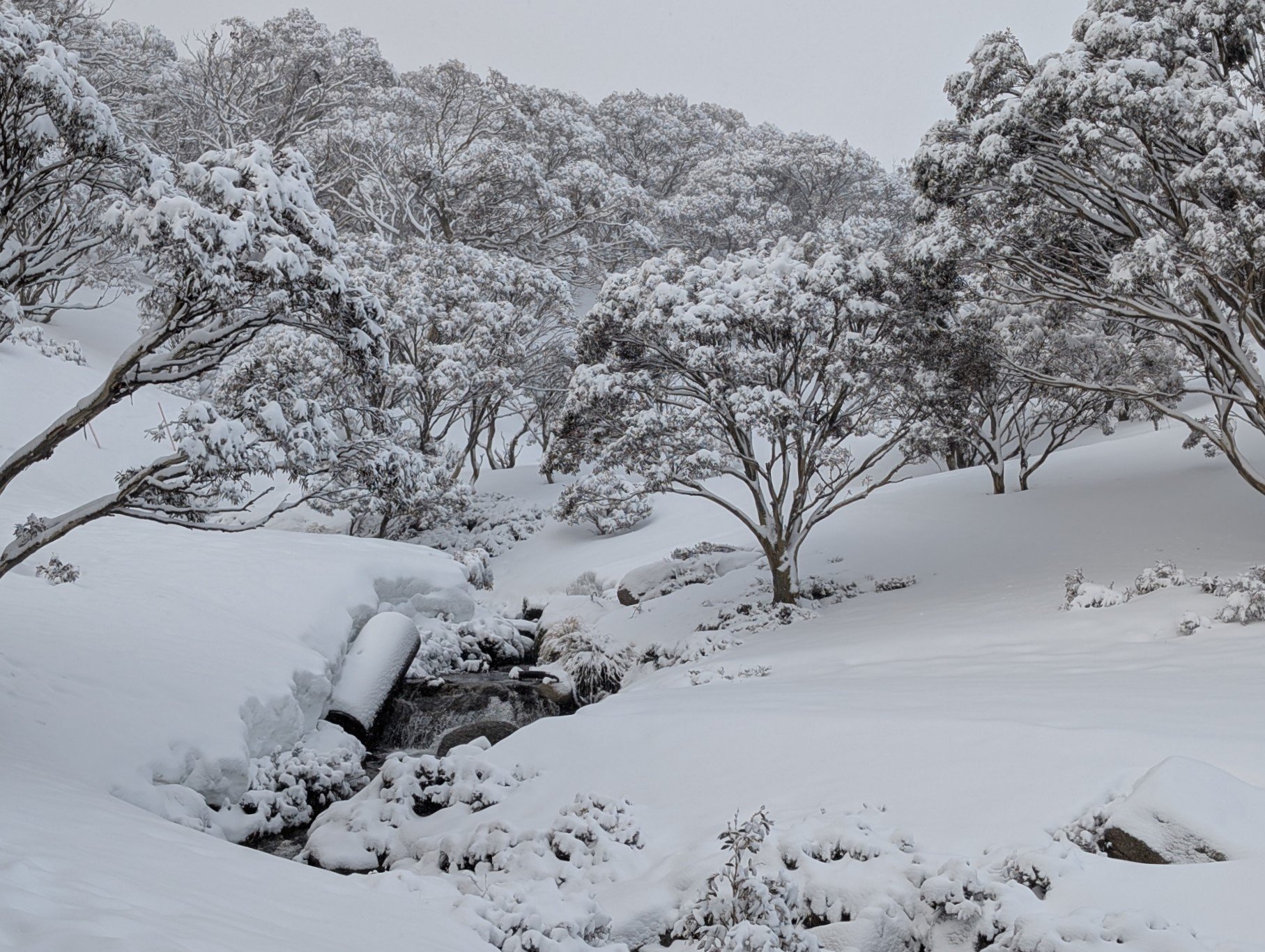
Image: Fresh snow on the morning of Thursday, September 11, 2025, at Charlotte Pass, NSW. Source: "Fozzie Bear" via ski.com.au.
This snowfall occurred when moisture drifted over the Snowy Mountains from the north and east, associated with the strong low pressure system that drenched parts of NSW.
This is a relatively uncommon direction for snow-bearing moisture in the Australian high country, and when it happens, Victoria tends mostly to miss out, as happened this week.
The second unusual occurrence was a slab avalanche on a steep part of Perisher ski resort, which was triggered by an expert skier. This type of avalanche can be very dangerous, however this one was fortunately quite small with no injuries reported.
READ MORE: Two different stories about Australian avalanches from the big snow year of 2022
As for this coming weekend, breezy conditions are expected in the high country with the chance of light showers or possible snow showers at the highest elevations on Sunday. The major resorts of Mt Buller, Mt Hotham, Falls Creek (Vic) and Perisher, Thredbo and Charlotte Pass (NSW) all still have the majority of their lifts open.
If you're heading to the mountains, don't forget to check the Weatherzone snow page for the latest forecasts, live cams and more.