
A wet end for the northern dry season
The Top End is experiencing the wettest September month in decades with total rainfall in some places more than five times the long term average.
Although there are still a few days left this month, Darwin has already registered its wettest September since 1981. The monthly total (87mm) to 9am on Sunday 27th is becoming close to the record (130mm). The northernmost capital city of Australia also had its wettest September day (50mm) on Sunday 20th in almost 4 decades (54mm).
Other places in the Daly district, such as Dum In Mirrie Island, are also seeing the best September rain in years. The current total (91mm) exceeds by far the previous record (65mm in 2010) since the weather station opened in 1994.
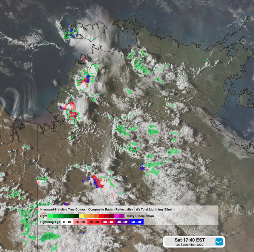 Image: Storm activity across the Top End on Saturday afternoon
The Bureau of Meteorology defines the northern rainfall onset as the date when the accumulated rainfall surpasses 50mm after the 1st of September as this amount of rain is considered enough to stimulate plant growth. Given the current figures, the northern rainfall onset has technically occurred for northwestern parts of the NT.
It is worth mentioning that, on average, the beginning of the wet season occurs by late October or early November over this region, spreading further south and inland over following weeks. This early onset is consistent with a La Niña pattern, which is most likely to further develop over the coming months.