
A taste of winter for Southeast Australia later next week
A brief spell of wintry weather is forecast to impact Tasmania, Victoria and southern NSW on Thursday 7th and Friday 8th from a blast of cold winds from the deep Southern Ocean.
Cold SW winds and accompanying showers following the passage of a strong cold front overnight Wednesday will fall as snow during Thursday, down to low levels across the Victorian Alps, the Snowy Mountains and including Tasmania Highlands. With the freezing level set to hover around 1000 metres during Thursday, this could see snow falling to as low as 800 metres about Victoria and Tasmania.
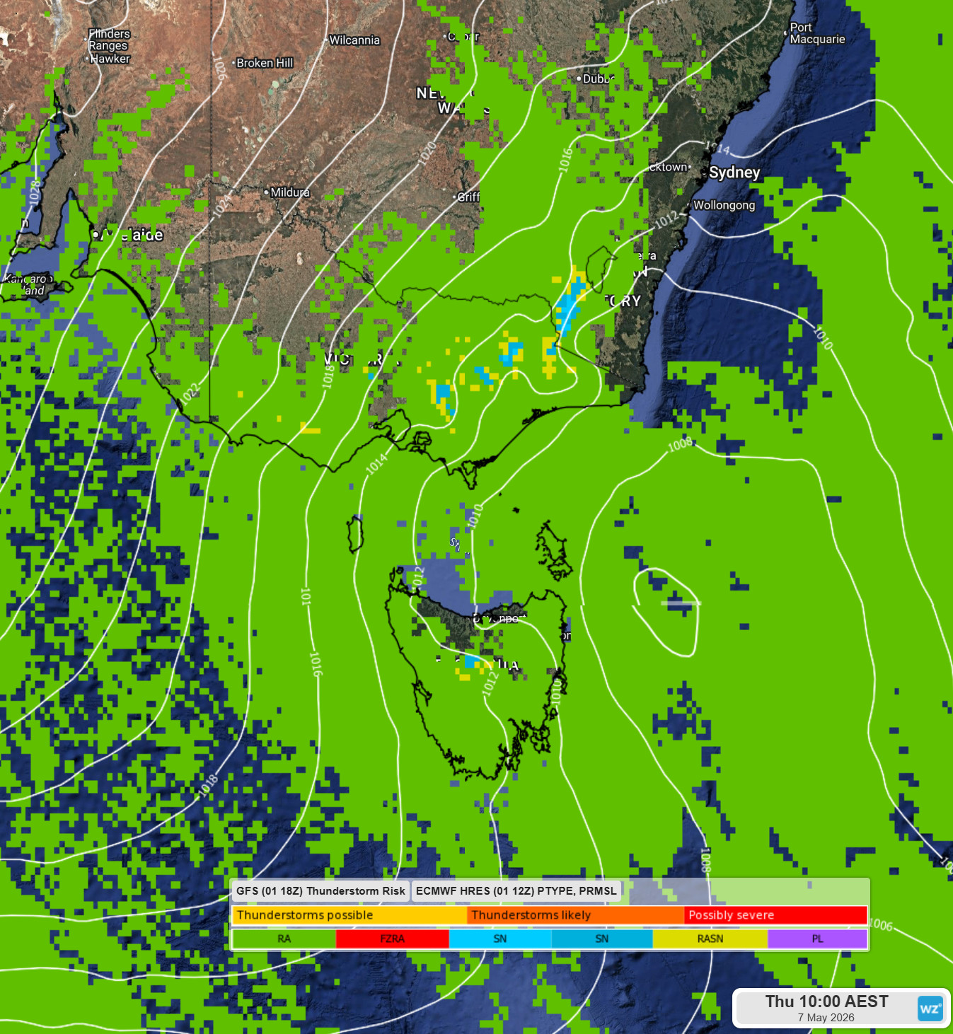
Image: Forecast of precipitation type for Thursday 7th at 10am AEST
RA: Rain SN: Snow RASN: Wet Snow
A second cold front early Friday will prolong the cold and gusty winds through the day with some further snowfall contracting to higher elevations across northeast Victoria and NSW's Snowy Mountains along with some snow flurries stretching into Saturday morning about the higher peaks.
Across southwest Victoria, some snow showers are likely to fall across the higher peaks stretching from the Grampians to the Central Highlands and south across the Otway Ranges.
However, don't reach for the skis or snowboards just yet. Snow accumulations across the two days should amount to approximately 10-20cm across the Victorian and New South Wales major resorts and about 3-8cm about the Tasmanian Central Plateau and the higher peaks in southwest Victoria. This should be ample snow cover for snow play, snowball fights and maybe a slide on a toboggan.
Across the southeast of the country, capital cities and regional townships will feel the worst of the cold conditions during Thursday and to a slightly lesser extent on Friday, as showers and cold, gusty winds will bring an additional chill when outdoors.
The cold, wet and windy conditions may also bring a Weather Warning for Sheep Farmers in Victoria, Tasmania and southern NSW. Similarly, the wet and cold conditions could make driving hazardous, especially if you are driving through the higher mountains – so take care and heed any official hazard warnings.
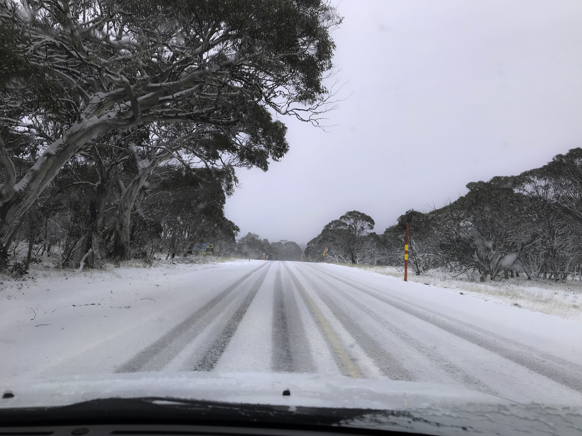
Image: Driving in the snow – Australian Alps Credit: Chris Gordon
Although still cool, temperatures across southeast Australia are forecast to increase later in the weekend with nearer to average temperatures for May likely for early next week.