
A chilly start of the week for the southeast
Temperatures will plummet behind the rain on Sunday night, likely bringing the coldest morning during the coming week across much of the southeast on Monday.
The mercury is expected to drop down to 8°C in Sydney early morning on Monday, after a relatively mild morning on Sunday with 12°C. Additionally, wind chill will make it feel 2-3 degrees colder than actual. However, overnight temperatures will gradually warm up over the following days, peaking by the end of the working week, climbing to around 2 degrees above average.
If you live in Melbourne, add your umbrella to your winter outfit. Victoria's capital will see minimum temperatures on Monday around 7°C, near the average for this time of the year. Cloud cover and light showers will limit daytime heating with the mercury struggling to reach 13°C.
Canberra will not escape from the cold either. Near freezing conditions during the early mornings are expected until mid week. The mercury will only climb to a top of 11°C on Monday, with significant wind chill in the afternoon and cloud cover at times.
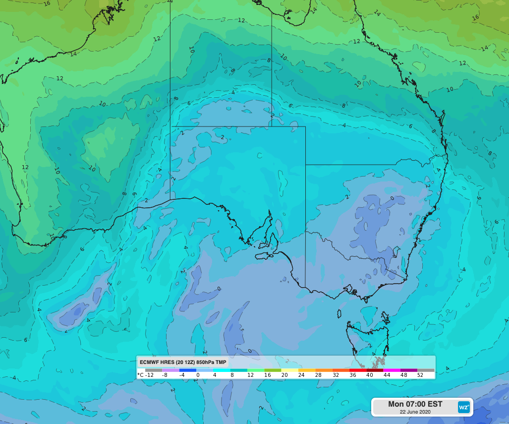 Image: Cold air across the southeast of Australia on Monday 22nd.
The pool of cold air left by a front crossing the southeast during the weekend will bring the chilly start of the week ahead. Models indicate the arrival of another front around the end of the working week, although it may not bring any significant cooling.