
109 km/h gusts and widespread rain lash southwest WA
Southwest WA has been battered by a strong cold front and associated low-pressure system since Thursday evening, bringing blustery winds, widespread rain, showers and thunderstorms that are still affecting the region on Saturday morning.
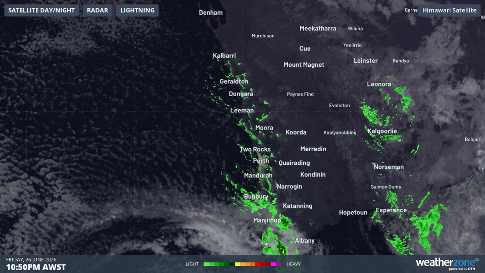
Image. Overnight satellite and radar animation showing widespread showers sweeping across southwest WA into Saturday morning.
The highest wind gusts recorded at WA locations were:
- Cape Leeuwin: 109 km/h at about 2:20 am Saturday
- Cape Naturaliste: 100 km/h shortly before 6 pm Friday
- Busselton Jetty: 93 km/h at about 1:40 am Saturday
- Rottnest Island: 91 km/h at about 5 am Saturday
- Mandurah: 89 km/h shortly before 5 am Saturday
- Witchcliffe: 83 km/h at about 3:30 am Saturday
- Garden Island: 83 km/h at about 10:35 pm Friday
These observations show that the strong winds extended well beyond the far southwest corner, with gusts approaching 90 km/h reaching Mandurah and Rottnest Island during the early hours of Saturday.
Widespread rain recorded across southwest WA
The cold front and low have also produced widespread rain across western, southwestern and southern WA since Friday.
In the 24 hours to Friday morning, widespread falls of 20 to 43 mm were recorded across western and southwestern WA, with the heaviest rain concentrated over the state’s far southwest corner.
In the 24 hours to 6:20 am AWST on Saturday, falls of 10 to 20 mm have been common across a broad area, while several locations in the South West and nearby inland districts have recorded more than 20 mm.
Significant rainfall observations in the 24 hours to 6:20 am AWST on Saturday included:
- Dwellingup: 38 mm — its highest June daily total in two years
- Donnybrook: 35.5 mm — its highest June daily total in two years
- Boddington Mine: 27.8 mm
- Manjimup: 25.4 mm
- Collie: 24.0 mm — its highest June daily total in five years
- Bridgetown: 21.1 mm
- Rocky Gully: 20.5 mm — its highest June daily total in two years
A Severe Weather Warning remains in place on Saturday morning for parts of the South West district.
Isolated damaging wind gusts of 90 to 110 km/h remain possible with showers and thunderstorms between Bunbury and Windy Harbour, including Busselton, Margaret River, Augusta and Dunsborough.
Wild weather easing during Saturday
The low-pressure system was moving southeast on Saturday morning, allowing the strongest winds to gradually shift away from the southwest coast.
The damaging wind threat should ease during the morning, although showers, thunderstorms and locally strong gusts may continue for a time.
Roads may remain wet, while fallen trees, branches and loose debris could continue to affect some areas following the overnight weather. Residents should continue to monitor the latest warnings and observations as the system moves away from the region.