Snow forecast for at least the next week
The good news for Aussie snow-lovers is that snow is in the forecast pretty much every day for at least the next week or so. The bad news is there is currently some rain in the mix, especially on the lower slopes.
But if you were forced to choose between a glass-half-empty and glass-half-full view of the week ahead, you’d definitely pick glass-half-full. There are still up to eight weeks in the local snow season, so any snow that accumulates is good snow, even if it's on the wet side.
So how much snow is coming?
Snow actually arrived yesterday in NSW and Victoria, and around 10-15 cm of fresh stuff had accumulated by Friday morning on higher slopes, while areas below about 1600 metres copped a bit of a drenching.
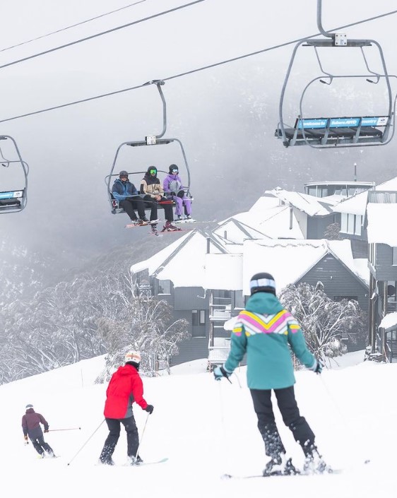
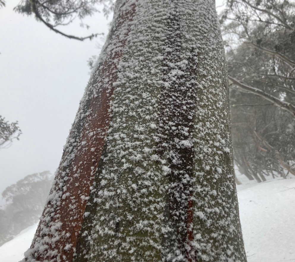
Image: Friday morning fun in the fresh snow. Source: Hotham Instagram.
Friday afternoon looks mostly clear, but snowfalls should increase over the weekend as a low pressure system currently centred near Adelaide slowly makes its way east. The snow level will start around 1400 metres on Saturday morning, gradually lowering to around 1200 m as winds turn more westerly.
The snowy conditions should then stick around for most of the new week, with a pair of cold fronts looking likely to make an appearance later in the week. At this stage, it appears likely that something in a range between 30 and 60 cm will fall at the higher mainland ski resorts.
Let's move on to our weekly wrap of conditions in the Aussie snowfields:
Should I go to the snow this weekend?
Go. Dress for snowy weather, but go. It won't be as windy as it can be when a really vigorous cold front rips through the moutnains, so that's one positive. Gloomy weather often keeps people off the slopes, so there's another reason to get amongst it.
VICTORIA
Mt Hotham, Falls Creek and Mt Buller all have most of their lifts open, so check the highlighted links for more info.
Australia's lowest mainland resort, Mt Baw Baw, is suffering from limited snow, and really needs the weather to turn just a degree or so colder for this current system to deliver snow. That may happen by Sunday or Monday. Six of its seven lifts are open, but expect cutbacks if no fresh snow comes. More info here.
NSW
Thredbo, Perisher, and Charlotte Pass all have all or most lifts spinning despite the rain, so check the highlighted links for updates.
Tasmania
Still not such great news at Mt Mawson and Ben Lomond, where the patchy snow cover remains suitable only for snow play, however things may change by later week.
As ever, please check the Weatherzone snow page for the latest cams, forecasts and other info.