
Smoky warmth sticking around in Sydney

Sydney enjoyed a pleasant day on Wednesday. The sun was shining, winds were light and temperatures hovered in the mid-to-high twenties across the city.
It sounds almost perfect.
Unfortunately, the nice weather was marred by two things: smoke and the fact that it's not usually this warm this close to winter.
Sydney's 25.3 degrees on Wednesday and 27.2 on Tuesday were well above the city's average May maximum temperature of 19.5 degrees.
Tuesday's 27.2 degrees was Sydney's warmest day this late in the season for 25 years. It was also just the fifth day above 27 degrees during the second half of May in 160 years of records. June and July have never had days this warm in Sydney's lengthy recorded history.
While this type of weather is pleasant, it reflects a trend of rising temperatures in Australia during recent decades.
The average maximum temperature in New South Wales during May has increased by 0.13 degrees per decade over the last 108 years, according to the Bureau of Meteorology.
Three of Sydney's five days over 27 degrees during the second half of May happened in the last decade.
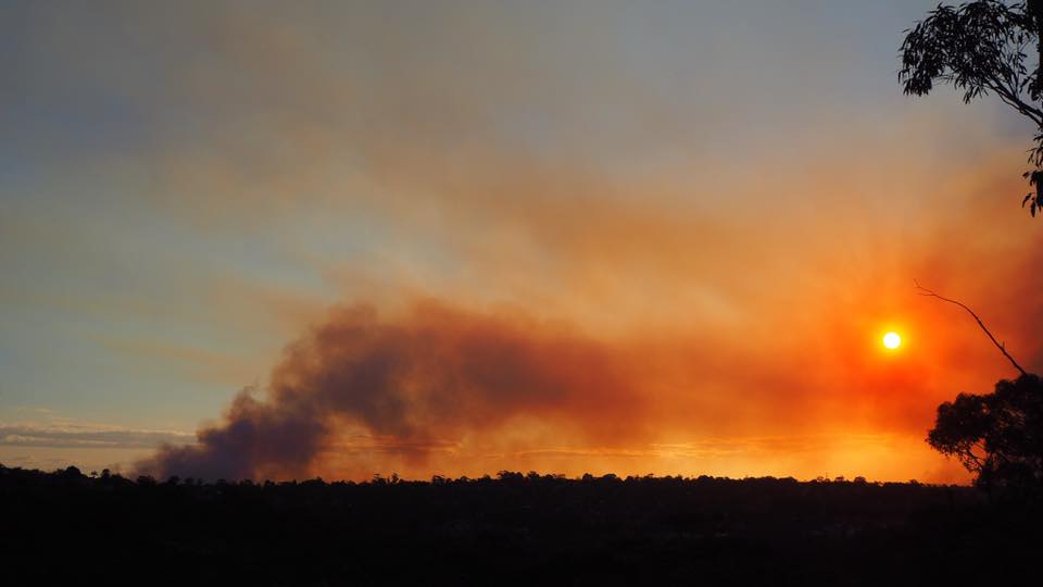
This week's late-season warmth was also accompanied by pesky smoke from nearby hazard reduction burns.
A stable weather pattern should see both the warm weather and bushfire smoke hang around until the weekend. Stronger winds ahead of an approaching change will flush the smoke out of Sydney from Sunday and temperatures will drop from Monday.