
Severe thunderstorms to hit WA on Friday
A flurry of intense thunderstorms will batter some western and southwestern parts of WA on Friday, with damaging winds, heavy rain and hail all possible.
Showers and storms will develop over parts of WA’s South West Land Division on Friday, ahead of a cold front moving towards the state from the Indian Ocean.
The day’s first showers will start to affect the South West Capes region early on Friday, before showers and storms spread further north and east during the rest of the morning and into Friday afternoon. The wet and stormy weather is expected to extend up to the Gascoyne, down the west coast and over parts of the Great Southern and South Coastal Districts.
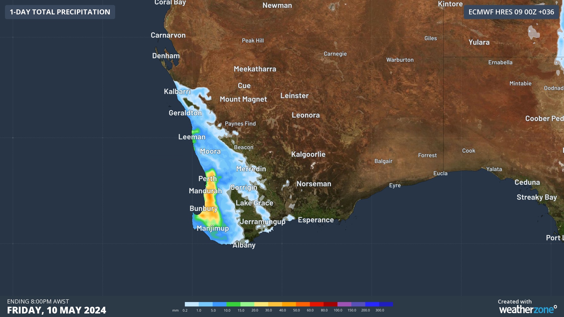
Image: Forecast accumulated rain up to 8pm AWST on Friday, according to the ECMWF-HRES model.
This weather pattern will have all the ingredients required for fast-moving severe thunderstorms, which will have the potential to cause damaging winds, bursts of heavy rain and large hail.
Perth will be in the firing line for Friday’s storms, with the city most at risk of seeing severe thunderstorm activity from late morning into the afternoon.
Severe thunderstorm warnings are likely to be issued in WA on Friday, so be sure to check the latest warnings throughout the day. You can also track storm activity on the Weatherzone radar.