
Severe storms in southeast QLD on Tuesday
Severe thunderstorms could develop over parts of southeast Queensland on Tuesday afternoon, with large hail, damaging winds and heavy rain all possible.
Humid and unstable air to the east of a low pressure trough will cause showers and thunderstorms to develop over parts of nothern, central and southeast Queensland during Tuesday afternoon and evening.
At 1pm EST, storms had already developed over the Herbert and Lower Burdekin District. Convective clouds were also starting to form over the state's central eastern and southeastern districts, indicating the initial stage of thunderstorm development.
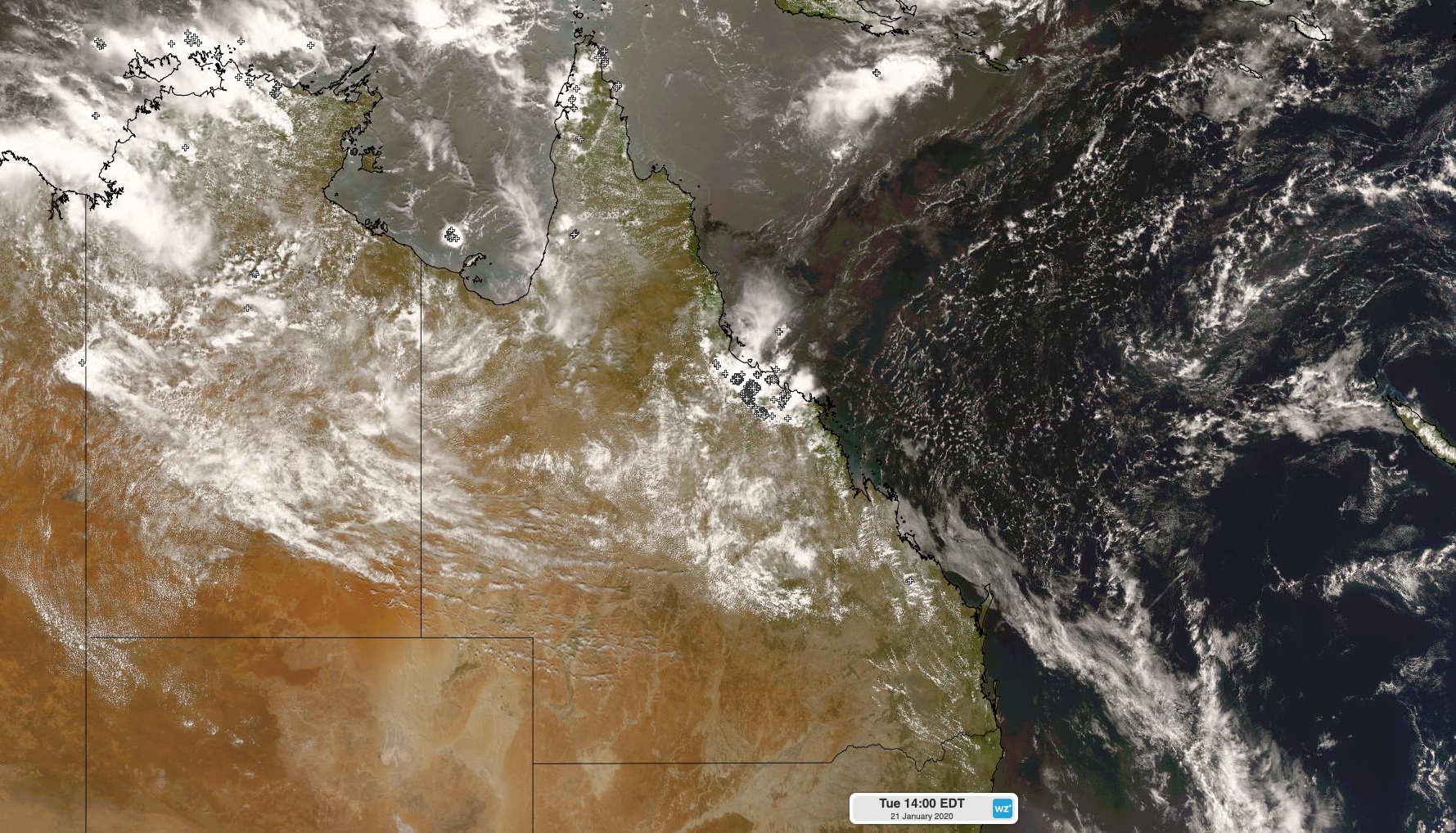
Image: Active thunderstorms over Queensland's Herbert and Lower Burdekin Disritct at 1pm EST on Tuesday, while storm clouds start to build elsewhere over the eastern half of the state.
Isolated showers and storms will become widespread over the eastern half of the state during Tuesday afternoon.
The most intense thunderstorms are expected to develop over parts of the Wide Bay and Burnett and Southeast Coast districts, where severe storms are likely and supercells are possible.
Visit https://www.weatherzone.com.au/warnings.jsp for the latest severe thunderstorm warnings.