
Severe storms in SE Queensland on Wednesday
If you live in southeast Queensland, be on the lookout for ominous clouds and severe thunderstorms on Wednesday.
An unstable weather pattern over eastern Australia caused a flurry of showers and thunderstorms in NSW and Queensland on Tuesday.
Some of these storms caused bursts of heavy rain, blustery winds and hail, while others created captivating cloud formations as they rolled across the landscape.
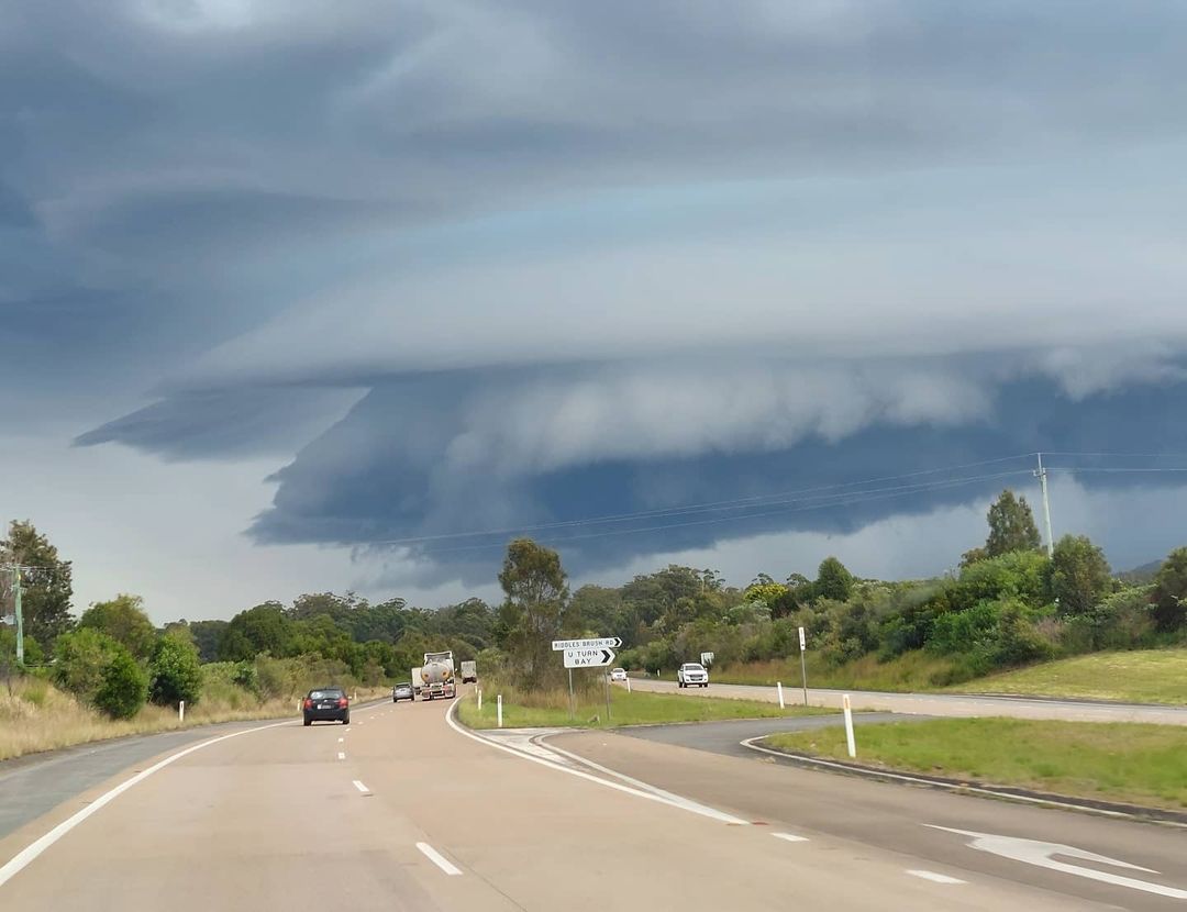
Image: A shelf cloud precedes a thunderstorm over Coopernook, NSW on Tuesday. Source: @nardoodigram
On Wednesday, conditions will remain ripe for showers and storms to redevelop over central and southeast Queensland and northeast NSW.
Some of these storms are expected to become severe, most likely between about Rockhampton and Yamba. If severe storms do develop in this region, damaging winds, heavy rain and hail are all a risk.
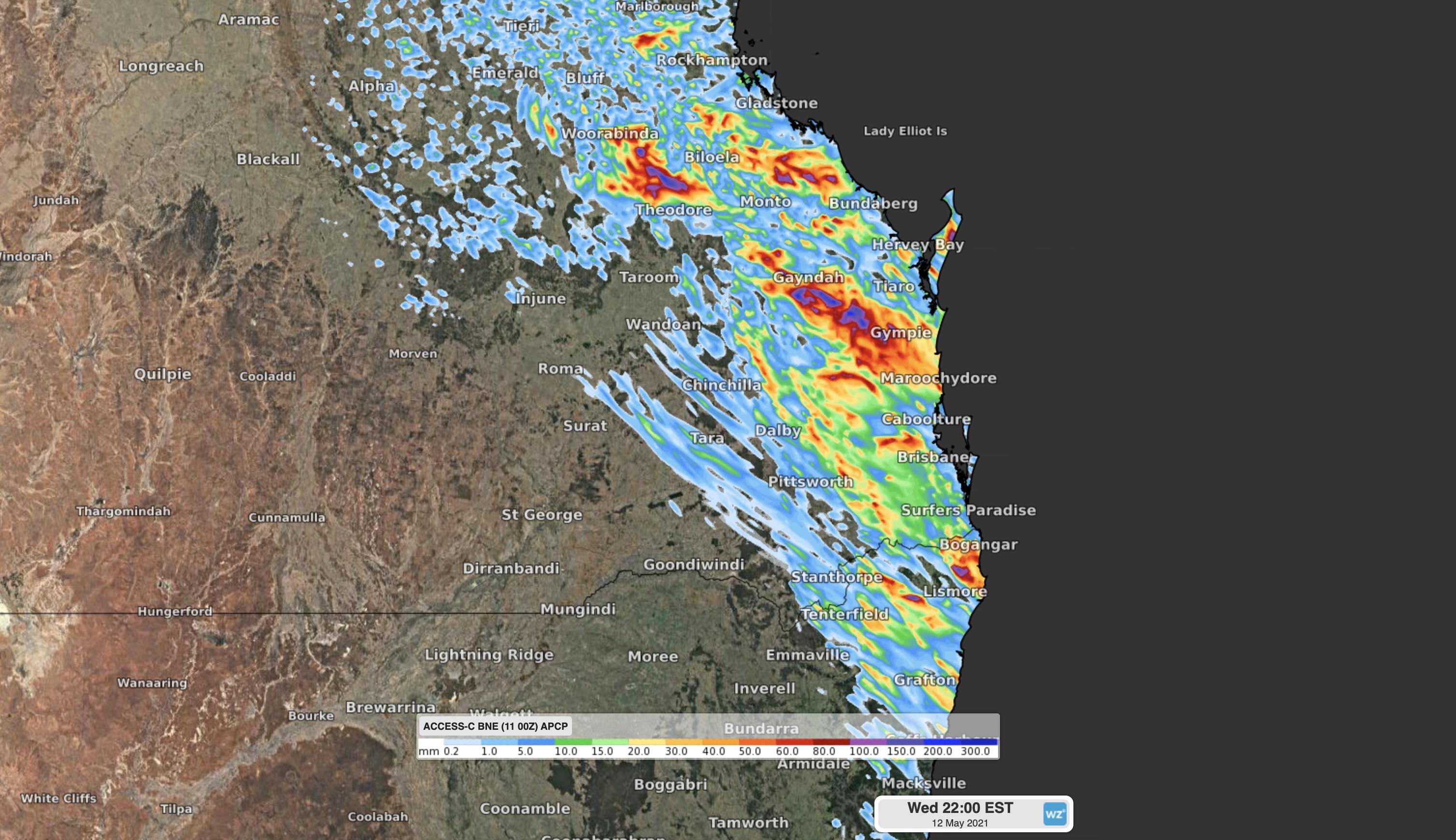
Image: Forecast accumulated rain on Wednesday, indicating the general area that's expected to see showers and thunderstorms.
Most of Wednesdays thunderstorms will occur in the afternoon and early evening, driven by warm air near the ground rising into an unstable atmosphere. This means that what starts out as a fairly sunny day could quickly deteriorate into dangerous storms.
Be sure to keep an eye on the latest warnings in your area throughout the day and into Wednesday night.