
Mammatus after a warm night in Melbourne
Unusual clouds have appeared over Melbourne for the second time in as many weeks, following the city's warmest night in at least four months.
Last Thursday, people in and around Melbourne were treated to a rare display of asperitas clouds. This newly classified type of cloud looks like the surface of a rough sea forming on a uniform cloud base, indicating the presence of sinking cool air and contrasting winds in the atmosphere.
This week, another rare and unusual type of cloud formed over Melbourne on Friday morning.
The smooth pouch-like clouds that appeared over parts of the city on Friday are called mammatus clouds, which comes from the Latin word mamma, meaning 'breast' or 'udder'.
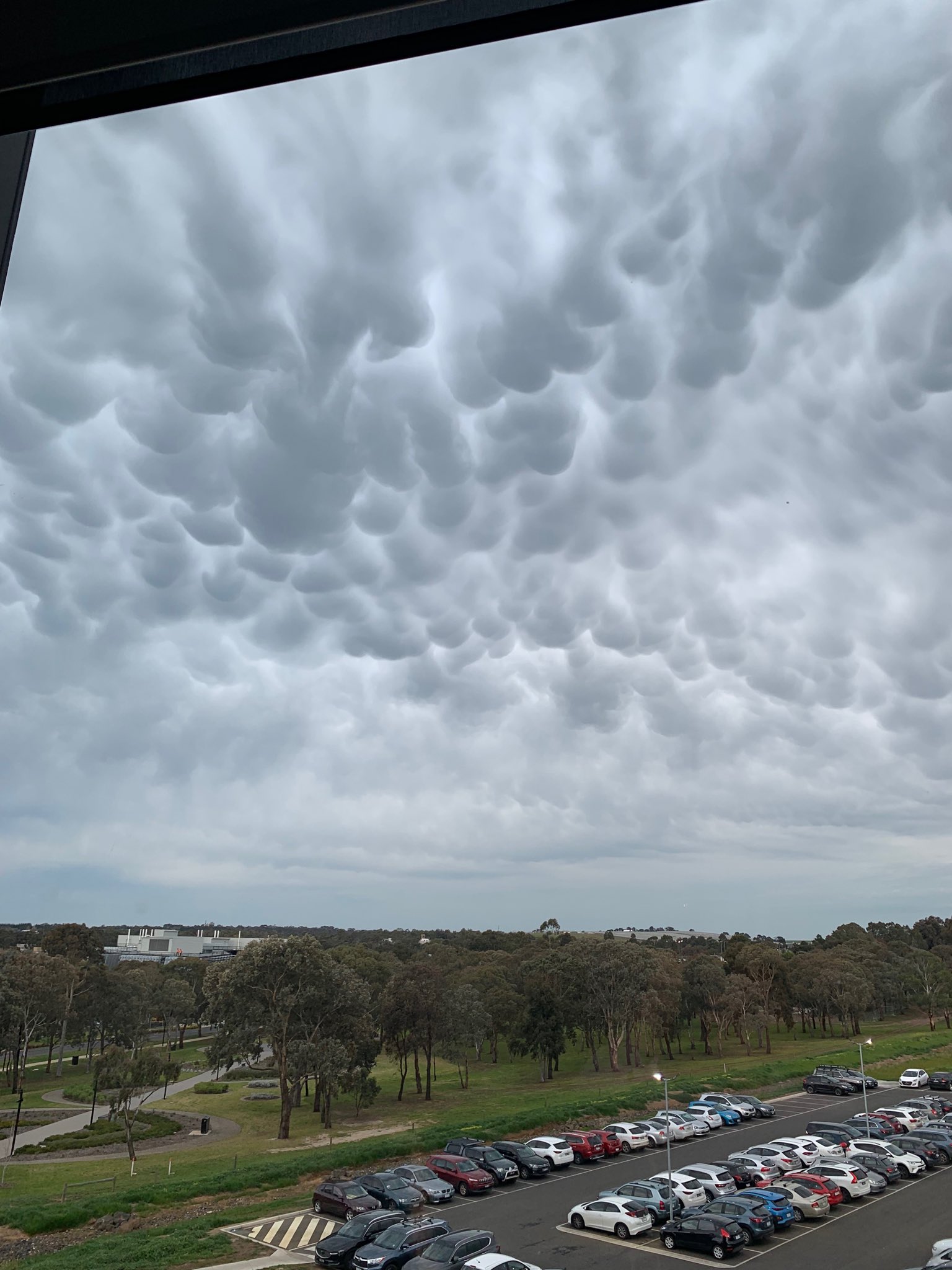
Image: Mammatus clouds over Geelong on Friday morning. Source: @diarmuidmccoy / Twitter
These clouds form when subsiding, or sinking, cool air causes protuberances that hang from the cloud's base. As the name suggests, these protuberances have an udder-like appearance.
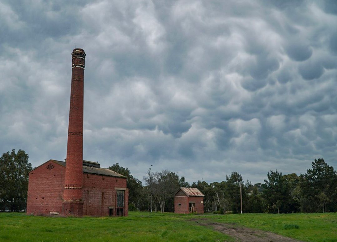
Image: Mammatus clouds over Geelong on Friday morning. Source: @notamandolin2 / Instagram
The clouds over Melbourne on Thursday night and Friday morning were also responsible for unusually high minimum temperatures across the city. Cloud acts like a blanket, preventing daytime heat from radiating away from the ground overnight.
The temperature at Melbourne's Olympic Park weather station only dropped to a low of 20.3 degrees on Friday morning. This is well above the long-term average minimum of eight degrees for this time of year.
While 20.3 degrees was the lowest temperature at Melbourne's Olympic Park weather station, the official minimum temperature for the 24 hours to 9am on Friday was actually 15.7 degrees, which occurred at 9am on Thursday. This was Melbourne's highest minimum temperature since May and the highest during September in three years.
The weather system that caused mammatus in Melbourne on Friday also produced the same cloud formation over Adelaide on Thursday.
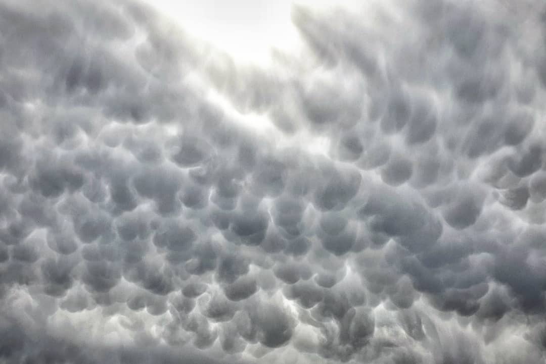
Image: Mammatus clouds over Geelong on Thursday. Source: @chillography_by_jason_hywood / Instagram
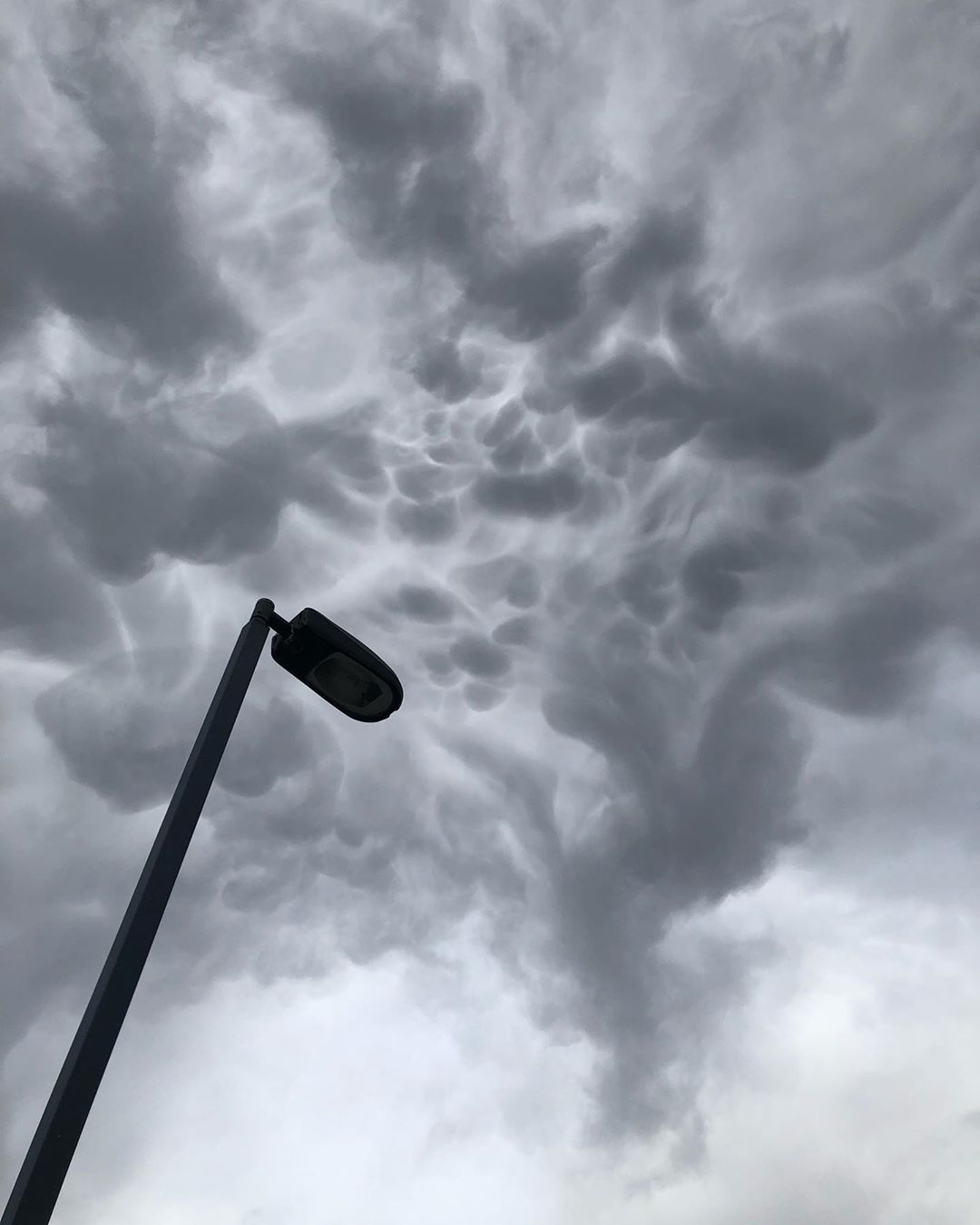
Image: Mammatus clouds over Geelong on Thursday. Source: @benjaminwheal / Instagram
Next time you see interesting clouds, be sure to take a photo and share it on the Weatherzone Weather Photography Group on Facebook.