
Heavy snow hits NZ, with rain inbound

Snow fell to low levels in New Zealand on Monday as a low pressure system prompted severe weather warnings in the country's South Island. Now the country's north is bracing for heavy rain and flooding.
A low pressure system directing a stream of moisture-laden air into a pool of cold air moving across New Zealand's lower South Island triggered a late-season snow storm on Monday.
Snow was reportedly falling down to about 200 metres above sea level on Monday morning, with the streets of Queenstown, Arrowtown and Wanaka all covered in a layer of white.
The heaviest falls occurred in the mountainous heart of the South Island, where some ski resorts were forced to close for the day due to a power outage. There were reports of more than 50cm of fresh powder at Coronet Peak, while 5-10cm of snow accumulated at Queenstown Airport, according to Met Service.
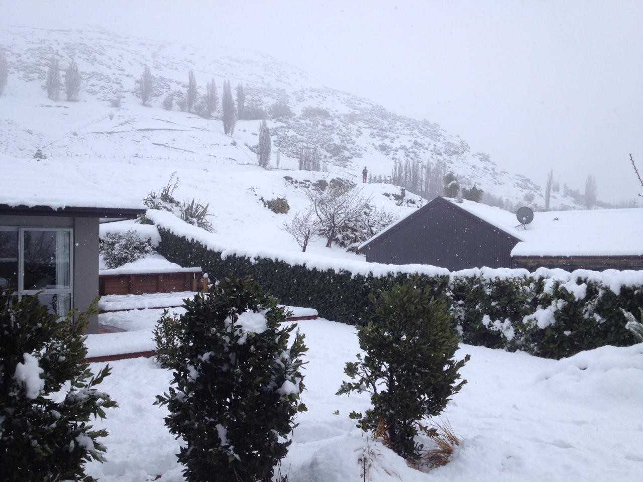
Image: Queenstown / Steve Spence
Severe weather warnings and road alerts were in place for parts of the South Island on Monday due to the heavy snow and rain being generated from the system. Some roads were also closed due to felled trees.
Drier weather will return to most of the South Island on Tuesday as the low moves further east, allowing skiers and boarders to enjoy the thick layer of fresh snow left by today's storm.
However, another low will approach the North Island tomorrow and it's likely to bring heavy rain that may cause flooding. A Heavy Rain Watch has been issued for Northland, where some places may pick up more than 100mm by Wednesday night.
Visit https://www.metservice.com/ for the latest warnings and advisories.