Clearer blue skies

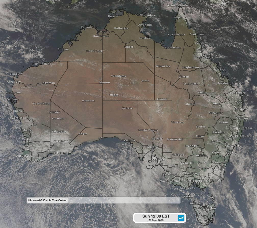
With considerably less aeroplanes flying over the last two months, there has been a noticeable lack of contrails they form.
Contrails are often visible on clear days, criss-crossing across the clear blue sky. In recent months however they have become a much more infrequent sight as passenger planes around the world are grounded.
What are contrails though and how do they form? Simply put, they are line-shape cloud streams sometimes visible extending from behind an aircraft. Contrails is a shortened term for condensation trails, a clear nod towards how they form.
Water vapour is already present in the air, however, when additional water vapour is added to air that is already moist, saturating it further, the water condenses and turns to ice crystals.
Cold air is less able to hold water vapour than warm air, and as such, contrails are more likely to form at higher altitudes than lower ones.

Himawari-8 Visible Tru Colour Satellite Image: Clear skies across much of Australia
Think of two aircraft, one flying at 30,000ft and the other at 10,000ft. Water vapour is present at both altitudes, and both aircraft are adding further water vapour to the atmosphere. The difference however is that at 30,000ft, the air is significantly colder and therefore able to hold less water vapour.
When the aircraft adds more vapour, the cold air can no longer hold it, and it condenses forming a contrail. Lower down at 10,000ft, the air is warmer and able to hold more water vapour, as such a contrail is much less likely to form.
Contrails can also spread out due to air turbulence, and in some cases can look like high level cirrus clouds that look no different to a natural forming cloud.