Bye bye wild east coast weather, hello unseasonal warmth
The worst of the weather which lashed parts of the east coast, including Sydney, over the weekend and the first half of Monday is on the way out. In its place, we can expect a couple of days of mild weather by June standards.
Weatherzone meteorologist Craig McIntosh summed up the weekend weather pretty well on Saturday in his story headlined: "Shocker of a Saturday for most of coastal NSW".
"Inside is the place to be if you are in coastal NSW on Saturday, or the Northern Rivers," he wrote.
"A big, angry low spinning over the Tasman Sea is the cause of the horrible weather in coastal NSW on Saturday. It has formed an occluded front offshore, and is directing cold, powerful winds and rain to much of the NSW coast and adjacent inland, as well as large, dangerous surf."
Sydney and nearby localities didn't receive huge amounts of rainfall, with totals around 20 mm in coastal areas and lighter falls inland, but the combination of strong gusty winds and persistent showers made it pretty solid couch weather.
But that's set to change over the next couple of days before a new system moves in from the west later in the week.

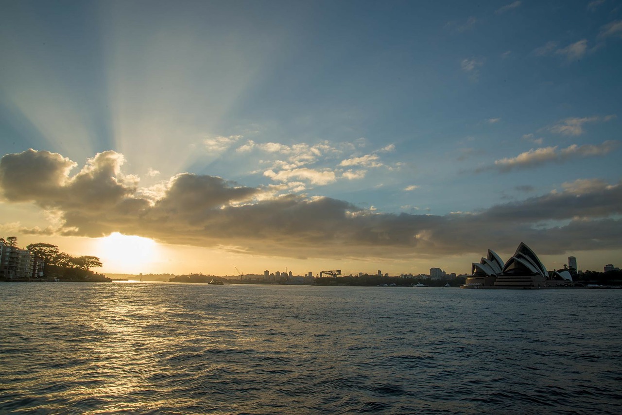
Image: Thaaaat's more like it. Source: @PattyJansen on Pixabay.
A strong and relatively slow-moving frontal system which has already brought heavy rain and cold temps to Western Australia will inch its way across the country, with its impacts felt on the east coast by later on Thursday into Friday.
- Ahead of that system, Sydney will warm up to 19°C on Wednesday and should even reach 20°C on Thursday before things get wet from late afternoon. Friday will also warm up to 20°C after the first burst of moisture associated with this system, before the cool air knocks a couple of degrees off for the weekend.
- Maximum temps will increase gradually as you head northwards along the NSW coast on Thursday and Friday, and over the border, Brisbane should reach as high as 25°C on Friday before a little rain arrives.
- Canberra and Melbourne will also reach a degree or two above average midweek, before cool air in the wake of the front cools things down on Friday.
- Adelaide’s warmest day this week will be Tuesday, with tops expected to reach 17°C before the front shaves a degree or two off max temps for the rest of the week.
- Hobart will hover in the low teens all week with intermittent showers likely from Thursday onwards.
This front will not by any means bring the coldest temps of winter, however it does have an extremely moist Indian Ocean feed, so solid rainfall totals across a wide area of southeast Australia are expected.
Temperatures should be cold enough to bring snowfalls to higher parts of the NSW and VIC alps by Thursday afternoon, although the lower slopes at some resorts will likely cop a bit of a drenching.