
Brisbane's wettest start to autumn in decades
Brisbane is having its wettest autumn to date in over 30 years following a burst of wet weather in southeast Queensland over the last few days.
A developing low pressure system has caused wind and rain to increase in southeast Queensland and far northern NSW over the last two days.
During the 24 hours to 9am on Tuesday, widespread falls of 60-120mm were recorded from the Sunshine Coast in Queensland down to about Mullumbimby in far northeast NSW.
A few rain gauges in this area collected more than 160mm in the last 24 hours and over 200mm in the past three days. One of these was the rain-magnet of Crohamhurst, the site of Australia's highest daily rainfall total on record (907mm on February 3, 1893).
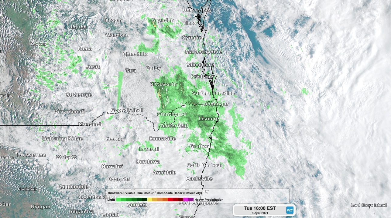
Image: Composite satellite/radar showing rain continuing in southeast Queensland and northeast NSW on Tuesday afternoon.
While Brisbane only picked up 45.4mm during the 24 hours to 9am Tuesday, this was more rain than any of the city's last five Aprils.
As of Tuesday morning, this latest rain had pushed Brisbane's running seasonal total up to 366.6mm. This is now the city's wettest autumn to date in 32 years, which comes after its wettest March since 1974.
The low pressure system will cause more rain and blustery winds over southeast Queensland and northeast NSW on Tuesday and Wednesday. Showers will ease and contract further south on Thursday before drier weather returns to Australia's east coast on Friday.