
Perth's wettest July in 26 years
The southwest of WA, including the Perth area, has seen this month well above average rain, becoming the wettest July in decades for several places.
Perth collected 271mm during July 2021, which is almost double its average (142mm), the highest since 1995 and the 10th wettest July in 146 years of records. It also saw 25 days of rain exceeding at least 1mm, 10 days more than the long-term average, and only 3 days rain-free. When considering any amount of rain, the 28 days make it the most rain days in July in 75 years.
Other significant totals include:
- Albany: 218mm (wettest July since 1991)
- Bunbury: 200mm (wettest July since 2000)
- Busselton: 177mm (wettest July since 2016)
- Esperance: 102mm (wettest July since 2017)
- Katanning: 136mm (record, opened in 1999)
- Narrogin: 164mm (wettest July since 1996)
It is not surprising to find high totals in the southwest corner of Australia at this time of the year as July is typically the wettest month of the year with the passage of cold fronts. However, powerful fronts affected the region this year more frequently than usual with very short periods of high pressure between the frontal systems.
Another factor that helps to explain the remarkable rain this month lies in the sea surface temperature. As we have mentioned, a negative Indian Ocean Dipole (IOD) is developing, which means unusually warm waters near Australia's northwest. This warmth enhanced tropical moisture-laden systems that brought widespread rain to WA's west.
Although July is coming to an end, wild weather seems to continue with the new month across southwestern WA. Another front will bring showers with possible gusty thunderstorms and small hail late on Saturday and continue into Sunday. As temperatures drop in the wake of this front, snow flurries will be a chance over the Stirling Ranges on Sunday morning.
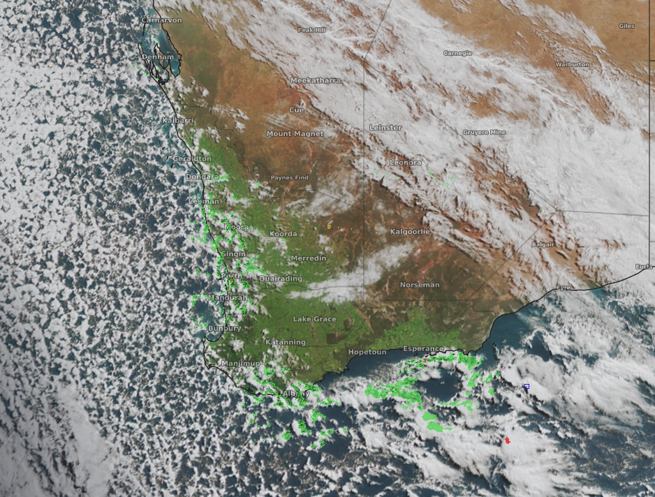 Image: Satellite image with radar and lightning overlay showing showers in the wake of a front on Saturday morning.