
Is that sleet or snow in Victoria, and what's the difference?
Light snow is falling in southern parts of the Victorian Alps on Tuesday evening, in the wake of the cold front that moved through Melbourne around the middle of the day.
The temperature in Melbourne plummeted more than six degrees either side of lunchtime - from 18.7°C at 10:30 am, down to 11.6°C at 1:40 pm - as cold south westerly winds kicked in and a cloud band delivered 6.0 mm of rain in the city up to 4:30 pm, with slightly heavier falls in some suburbs.
That cold air then tracked north and for the second time in about 10 days, snow is falling up at the southernmost Victorian ski resorts, Mt Baw Baw and Mt Buller.
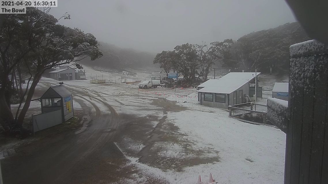
Image: As the date stamp says, 4:30 pm was looking pretty flaky up at Baw Baw. Source: ski.com.au.
Victoria’s northern ski fields, Falls Creek and Mt Hotham saw no afternoon flakes from this system, though that apears to be changing as afternoon turns to evening.
In winter, Hotham and Falls tend to get much heavier snowfalls than Buller and Baw Baw, and they almost always accumulate a deeper overall snow base.
But in autumn, when Southern Ocean cold fronts often just scrape the edge of the Australian continent, the southern hills tend to do best.
IS AUSTRALIA IN FOR A GOOD SNOW SEASON? OUR LONG RANGE OUTLOOK HERE
Tasmania also tends to gets more snow out of autumn snow systems than the mainland, and the snow level there is tipped to lower to 800 metres tonight.
The snow level in Victoria is expected to drop to around 1100 or 1200 meters this evening, but it wasn't quite there yet this afternoon, as evidenced by this snow cam image from Mt Baw Baw at about 1460 metres above sea level, which was showing some pretty wet-looking sleety snow.
The marginal conditions for snow were backed up by the BoM station near the summit of Baw Baw at 1561 metres, which was been hovering between zero and -0.1 between 3 pm and 6 pm. That means it was probably about half a degree down where the cams are located. Perfect sleet weather!
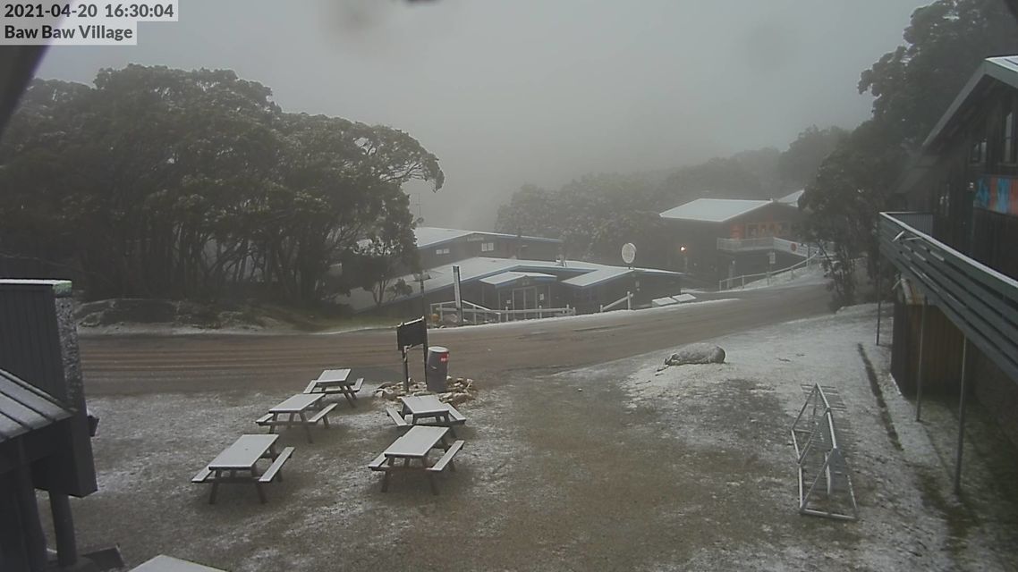
Image: Trying to snow. Only partially succeeding. Source: ski.com.au.
For the record, sleet in Australia is essentially just snow which is starting to turn to rain because air temperatures are barely cold enough.
Americans use the term "sleet" for ice pellets, which is a weather phenomenon rarely seen here.
Most other countries use sleet in the half rain/half snow context we use it.
But in Australia, if your hands are getting really, really wet throwing snowballs, then you can bet you're dealing with good old Aussie cement, aka sleety snow.
Here's hoping snow lovers see more snow than sleet in the season ahead.
Meanwhile Melbourne's rain should turn to showers tonight, gradually clearing tomorrow.