
Eastern NSW left reeling after days of severe weather
Flooding and coastal erosion are plaguing parts of eastern NSW today after a dynamic low pressure system brought more than 350mm of rain and waves over 11 metres high during the last few days.
A deep low pressure trough and low pressure system have been hugging Australia's east coast since late last week. This complex system has caused days of heavy rain, damaging winds, and dangerous surf.
While the heavy rain from this system fell as far north as southeast Queensland and as far south as eastern Victoria, the most severe weather targeted eastern NSW.
Multi-day rainfall totals during the 72 hours to 9am on Tuesday included 370mm at Brooman and 348mm at Ulladulla on the South Coast of NSW. This is more than four times the July monthly average in Ulladulla and the site's highest three-day total in records dating back to 1994.
Some standout two-day totals during the 48 hours to 9am on Tuesday included 335mm at Wattamolla, west of Kiama, and 329mm at Brooman, to the west of Bawley Point.
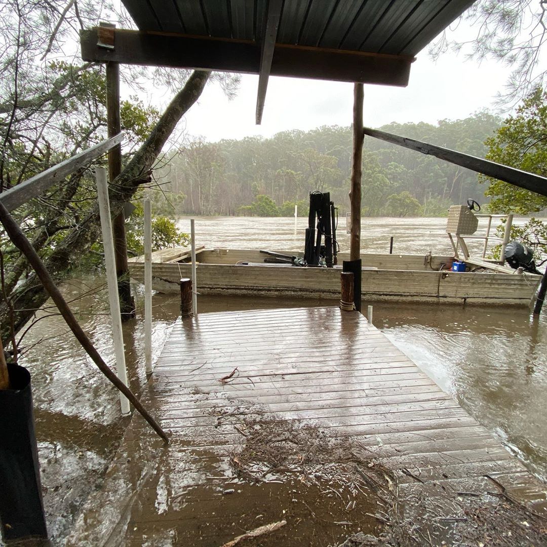
Image: A swollen Tomaga River on the South Coast of NSW Monday. Source: @pinnacleoysters / Instagram
Some areas in eastern NSW experienced flash flooding amid the deluge during the last few days. Now, as this water tries to flow back out to sea, a number of rivers are swollen and flooding. Minor to moderate flood warnings have been issued for some rivers from the Hunter down to the South Coast and Snowy Mountains.
Rescue services are also being kept busy cleaning up the mess from the last few days of severe weather. The combination of rain-softened soil and damaging winds brought down a number of trees in eastern NSW and the ACT during the last 48 hours, damaging buildings and blocking roads.
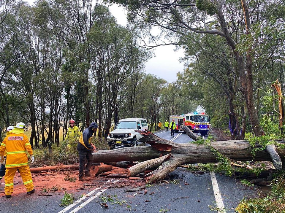
Image: Treens down on the South Coast in NSW on Tuesday. Source: NSW RFS
At the peak of the winds, there were reports of gusts as high as 117km/h along the exposed South Coast on Monday afternoon. Sustained wind speeds (averaged over 10 minutes) remained higher than 80km/h for 11 consecutive hours at Montague Island during starting at midday on Monday.
These persistent and powerful winds created massive waves. The highest maximum wave height measured during this event was 11.67 metres near Batemans Bay. Maximum wave heights also reached 11.24 metres at Eden on Monday afternoon. Further north, waves peaked around 7.6 metres near Sydney, roughly half the height of the waves a fortnight ago. These waves caused coastal erosion in some areas along parts of the state's southern and central coasts. There were also reports of blackened beaches as ash and debris washed up along the South Coast, a region ravaged by bushfires last summer.
Looking ahead, the low pressure system that drove this dynamic severe weather event will weaken and move further out to sea on Tuesday, allowing wind and rain to ease in eastern NSW. The surf will gradually back off through the middle of the week.