
Wintry blast to bring low level snow

A vigorous cold front is marching towards the nation’s southeast and will bring a wintry blast including gusty winds, rain and low-level snow.
The front will start crossing Tasmania during Monday afternoon, reaching Victoria in the evening. This front will bring the usual features of wind and rain but the most interesting feature of this robust cold front is the potential of snow to low levels.
In Victoria and southern parts of New South Wales snow could fall as low as 300-400m above sea level on Tuesday and Wednesday. This could mean that towns such as Marysville (430m) in the Yarra Valley and Khancoban (337m) on the lower parts of the Snowy Mountains could receive 5-10cm of snow.
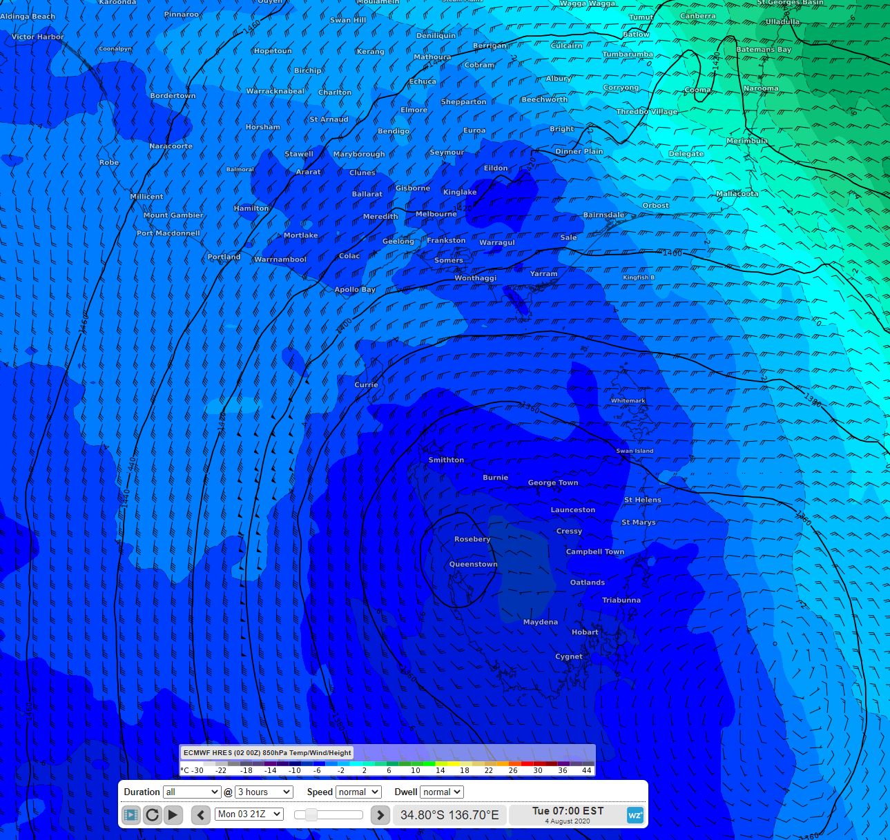
Image: 850hPa temperatures over VIC and TAS on Tuesday 7am according to the ECMWF HRES model
The airmass will be even colder further south over Tasmania where snow down to sea level is a possibility. Both Hobart and Launceston are a chance for seeing a few flakes. Moisture is more abundant over Tasmania as well and Mt Wellington could have up to 30cm of snow by the time the event wraps up.
The snow resorts should get a top up of around 10-20cm from this cold front with another system expected to bring further snow from Friday.