
Wet week in Western Australia

Wet and stormy weather will affect a large area of Western Australia this week.
Two cold fronts will cross the nation's southwest during the next three days, causing showers, thunderstorms, blustery winds and small hail.
The first front will interact with a cloudband to cause showers and storms over a large area of the state on Wednesday.
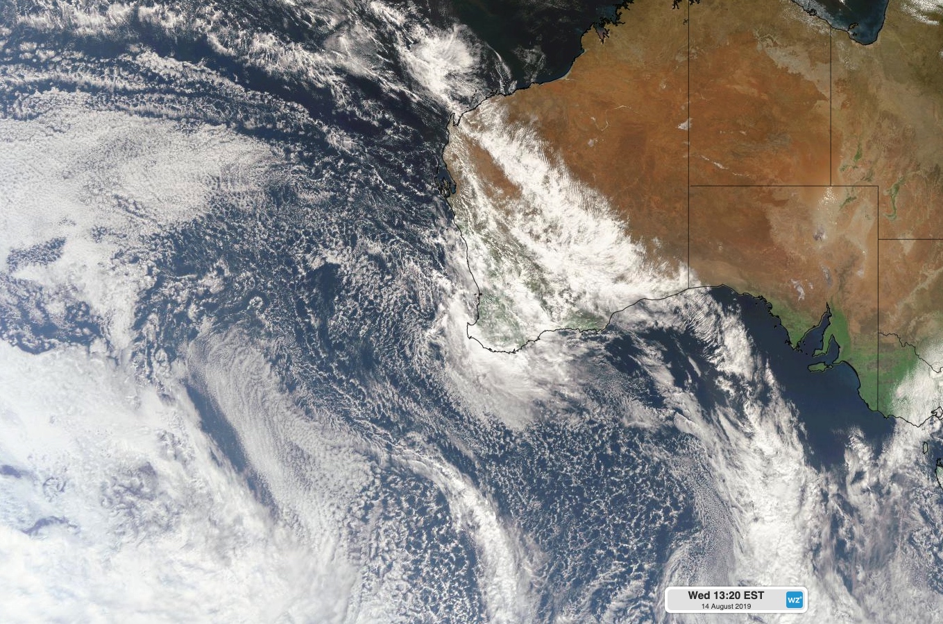
Image: Clouds crossing WA on Wednesday with the passage of a cold front.
Some areas of Perth had already picked up 20-30mm of rain by 9am on Wednesday, which was the heaviest rain in more than a month for some suburbs. Showers and storms remain a risk into the afternoon for Perth and surrounding areas.
Further south, North Walpole's 27mm during the 24 hours to 9am Wednesday was their heaviest August rain in five years.
Drier weather will return to Western Australia's Southwest Land Division on Thursday as a high pressure ridge causes rain to move further east.
The next front will bring a burst of wind, rain and storms to the state's southwestern districts on Friday and Saturday morning. This system may cause damaging winds and locally heavy rain.
Keep up to date with the latest warnings and forecasts for the most up-to-date information on this week's cold fronts.