
Tropical Cyclone Niran update
Northern Queensland is being spared from the worst impacts of Tropical Cyclone Niran as the system gains strength just a few hundred kilometres from Cairns.
At 10am AEST, Tropical Cyclone Niran was located about 320 km to the northeast of Cairns. At the time, the system was a slow-moving category two tropical cyclone with wind speeds near its core averaging about 100km/h.
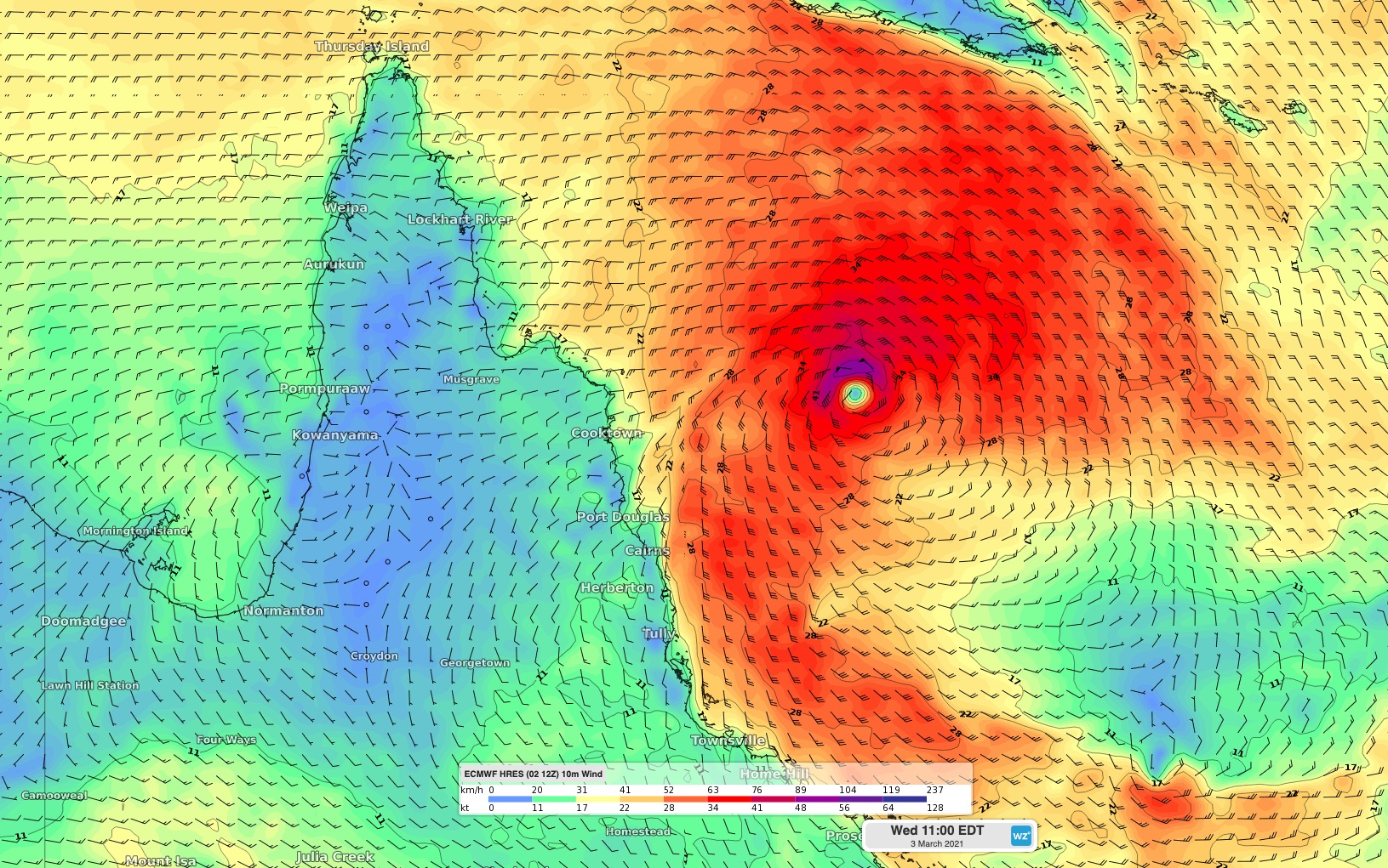
Image: Modelled wind speed and direction at 10am AEST on Wednesday morning.
Fortunately, winds have been much lighter along Queensland's northern tropical coast on Wednesday morning. By 11am, gusts had only reached up to 54km/h at Cairns Airport and 41km/h at Innisfail.
The heavy rain too is being kept mostly offshore. While a few hundred millimetres fell in some areas earlier in the week, most rain gauge between Townsville and Cooktown received less than 10mm during the 24 hours to 9am on Wednesday.
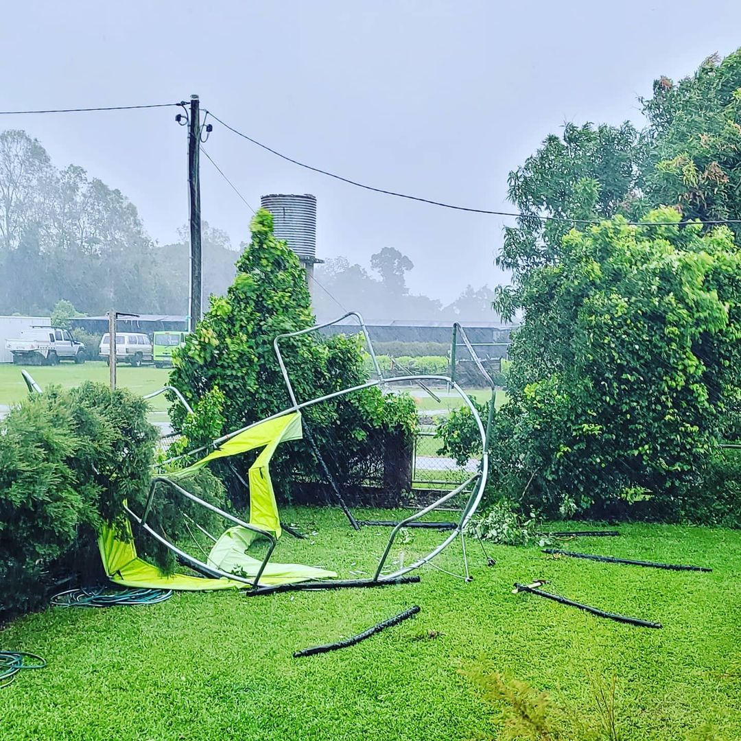
Image: Heavy rain and blustery winds have affected Cairns this week as Tropical Cyclone Niran developed offshore. Source: @pynesindoorplanthire / Instagram
Looking ahead, Tropical Cyclone Niran is expected to strengthen into a category three severe tropical cyclone during the next 24 hours and start moving towards the southeast from Thursday. This track will take the dangerous system further away from Queensland during the next few days.
Mainland Queensland will mostly escape the severe weather from Niran from now on. However, gale force winds could clip some exposed coastal areas and islands between Cape Melville and Hamilton Island today or early on Thursday.
Niran is the sixth tropical cyclone to be named in the Australian region so far this season.