
Tropical cyclone about to form off WA coast
A low pressure system located off the northwest coast of Australia is expected to become a tropical cyclone within the next 24 hours.
The animation below shows a tropical low located near the Cocos-Keeling Islands on Wednesday morning. At 8am AWST, the centre of this low was roughly 380 km east of Cocos Island and just under 1,800 km northwest of Exmouth.
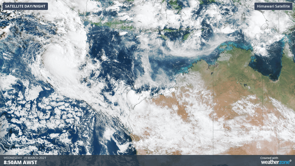
Video: Visible satellite images showing a large mass of cloud near a tropical low located to the northwest of Australia on Wednesday morning.
Earlier this week, most forecast models suggested that this low didn’t have much chance of becoming a tropical cyclone. However, it is about to move into a region of low vertical wind shear that should allow it to quickly gain strength.
The Bureau of Meteorology expect this low to become a tropical cyclone on Wednesday night or Thursday morning as it moves towards the southeast. This outlook is backed up by the Joint Typhoon Warning Center, which gives a high potential for tropical cyclone development within the next 24 hours.
If this system does become a tropical cyclone, it will take the next available name on Australia’s pre-determined list of tropical cyclone names, which is Herman.
At this stage, Herman is expected to remain well off the WA coast and may only last as a tropical cyclone for a day or two, posing no direct threat to the Australian mainland.
You can find the latest tropical cyclone advisories and track maps here.