
Spring snow for parts of New South Wales
A vigorous cold front has blanketed parts of New South Wales with some late season snow.
The front roared through much of New South Wales on Friday, leaving a frigid, wintry airmass in its wake. This airmass combined with atmospheric moisture to bring snow to the Alps, but more impressively, to low levels over southern parts of the Central Tablelands, including the Blue Mountains.
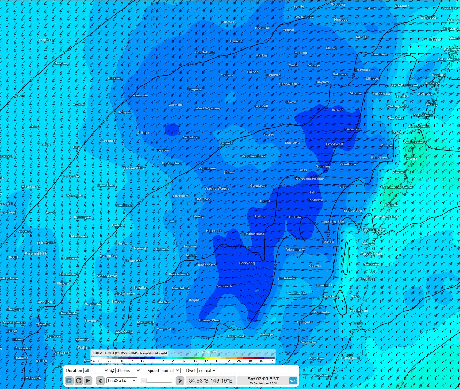
Image: A cold airmass over NSW - 850hPa temperatures according to the ECMWF model
The highest snowfall totals were over the Alps, where 20-30cm fell. During Friday afternoon and evening the cold air reached the Central Tablelands, bringing snow to some of the usual spots including Oberon and the surrounding hills. Snow was also reported in and around Orange. In the Blue Mountains, snow flurries were reported in numerous suburbs including Mt Victoria, Blackheath, Leura, and Katoomba.
Snow showers continued over parts of the Central Tablelands on Saturday morning. The airmass will become drier during Saturday afternoon meaning that snow showers will become more isolated as the day progresses.
A high pressure system will become the dominant feature in the coming days, leading to sunny days, but frosty mornings for the highlands.