
Rare Sydney frost in the inner suburbs
Frost in Sydney's greater west is common in winter, but in the inner city, it's a much rarer event - perhaps once or twice a winter at best in low-lying areas, and some years, not at all.
But this Thursday morning, patches of frost could be found in small valleys just a few kilometres inland from Botany Bay.
How do we know? Because your humble correspondent got his backside out of bed and went looking for frost with the dog. It was so cold (by Sydney standards) that even the dog had that, "Mate, are you for real?" look on his face as he left the front door.
But yes, this was for real, and real frost was indeed to be found.
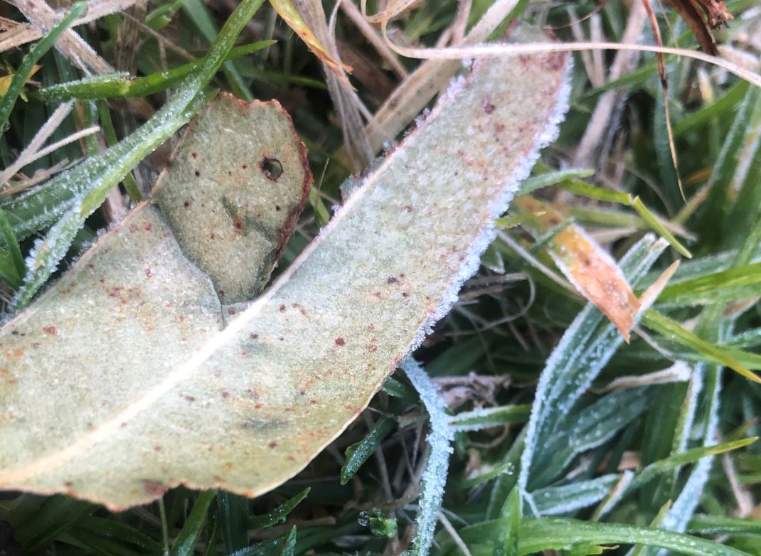
Image: The very occasional frost around here is par for the course. Source: Author's pic.
The pic above shows light frost on the fairways of Bardwell Valley Golf Club, a challenging par-62, 18-hole layout which won't win any prizes for best golf course in town, but which is definitely one of the friendliest and prettiest.
Ther was also a much heavier frost in parts of western Sydney. The image below was supplied to Weatherzone by Colin Warren in Schofields, about 50 km northwest of the Sydney CBD.
Colin described it as "a cracker of a hard frost, the type that needs a scraper to get it off the windscreen".
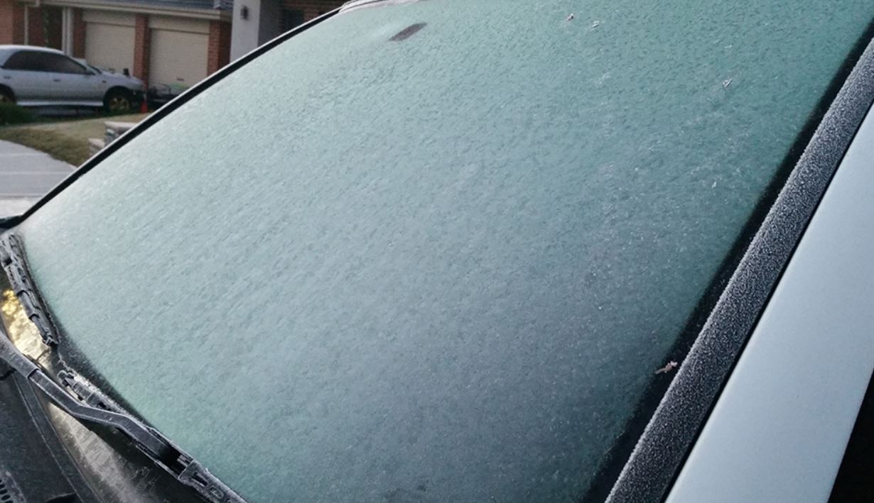
Image: Nothing to see here. Literally! Source: Colin Warren.
So how cold was it in Sydney overnight?
Night time air temperatures in the eastern half of Sydney are moderated by the influence of the ocean. Large bodies of (relatively) warm water help keep the air temperature several degrees warmer.
But Sydney still had, by its standards, an exceptionally cold night last night, in the cold, dry air in the wake of Tuesday's cold front.
- The "official" station at Observatory Hill, beside the Sydney Harbour Bridge, dipped down to 5.2°C.
- In the outer west, temps as low as -2.1°C were recorded at Camden and Richmond.
- Canterbury, about 12km SW of the CBD, had a low of 2.4°C. We mention that station because it's close to Bardwell Valley Golf Course, where the frost pic was taken.
Of course, it needs to be colder than 2.4°C for frost to form, but it was obviously colder down at the golf course for a couple of reasons.
Firstly, air temperature measurements are generally taken 1.2 metres above the ground in a Stevenson Screen. But the ground on cold nights is always colder than the air above it, which is why frost can form on grass in air temps just above zero.
Also, the golf course lies in a valley, and cold air pools in valleys overnight as it's denser and therefore heavier than warm air. So it's likely the air temp got very close to zero anyway.
Anyway that's how it got frosty in small pockets of inner Sydney overnight. The good news is things will warm up beutifully tdoay, with a top expected of 17°C with light winds and sunshine.
MEANWHILE BEYOND SYDNEY, IT WAS SERIOUSLY COLD: ICY MORNING IN EASTERN AUSTRALIA