
Month's rainfall in a day for thirsty towns along the Murray
Rain, and lots of it, has fallen in numerous centres in northern Victoria and southern New South Wales, ahead of a cold front crossing southeastern Australia.
The heaviest single reading was at Mt Buffalo Chalet in NE VIC, where 116 mm was recorded in the 24 hours to 9 am Thursday. Other mountain areas in NE VIC and NSW also recorded falls in the vicinity of 100 mm.
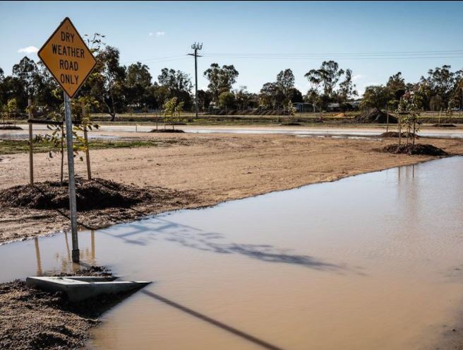
Image: Puddles this morning in Barham, NSW, a Murray River town about halfway between Albury-Wodonga and Mildura. Source: Chris Brown @zoonabar on Instagram.
While the rain in mountain districts was not particularly welcome for the ski resorts, as temps were a degree or two too warm for snow, it was good news for towns along the Murray, and in the Riverina region of NSW.
- Griffith in the Riverina recorded 41 mm to 9 am Thursday, exceeding its June monthly average rainfall of 39.1 mm in a 24-hour period.
- More than 20 weather stations recorded 24-hour rainfall totals in excess of 50 mm, including the NSW apple capital of Batlow (79 mm), and Tumut (50 mm), while the popular Victorian tourist hotspot of Bright recorded 52 mm.
A minor flood warning is in place for the Tumut River for Thursday afternoon, while the Ovens River which flows through Bright is one of several rivers in NE Victoria with a flood watch in place.
The heavy rainfall was caused by a northwest cloudband which brought moisture-laden air from the Indian Ocean all the way down across the country into SE Australia.
THEY'RE BIG, THEY'RE WET, AND THEY'RE ACTUALLY REALLY INTERESTING: WHAT IS A NORTHWEST CLOUDBAND?
When the cloudband hit mountainous areas of SE NSW and NE VIC, rainfall totals were enhanced by orographic lifting.
The rainband has mostly ducked Sydney and Melbourne for now, though both cities could be in for showers later on Thursday, with Melbourne likely to be quite wet on Friday as Sydney dries up.
Of the eastern capitals, Canberra has done best out of this system so far, with 25 mm in the gauge as of 1 pm Thursday, and every indication of more to come on Thursday afternoon before the steady rain turns to the odd shower or two on Friday.